| Seltannasaggart | |
|---|---|
| Sailtean na Sagart Corry Mountain | |
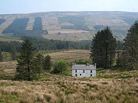 Seltannasaggart from the southwest | |
| Highest point | |
| Elevation | 428 m (1,404 ft) [1] |
| Prominence | 137 m (449 ft) [1] |
| Listing | County Top (Roscommon) |
| Coordinates | 54°7′21″N8°8′36″W / 54.12250°N 8.14333°W [1] |
| Naming | |
| English translation | willow plantation of the priests |
| Language of name | Irish |
| Geography | |
 Seltannasaggart | |
| Parent range | Arigna Mountains |
| OSI/OSNI grid | G908142 |
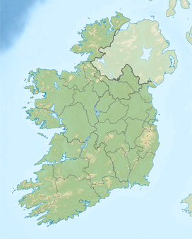
Seltannasaggart (from Irish Sailtean na Sagart, meaning 'willow plantation of the priests'), [2] also called Corry Mountain, is a low mountain near Lough Allen on the border of County Roscommon and County Leitrim in Ireland; it is the highest point in Roscommon.

