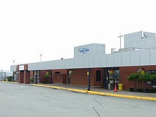
Sevogle Airport | |||||||||||
|---|---|---|---|---|---|---|---|---|---|---|---|
| Summary | |||||||||||
| Airport type | Private | ||||||||||
| Operator | New Brunswick Department of Natural Resources | ||||||||||
| Location | Sevogle River | ||||||||||
| Time zone | AST (UTC−04:00) | ||||||||||
| • Summer (DST) | ADT (UTC−03:00) | ||||||||||
| Elevation AMSL | 1,350 ft / 411 m | ||||||||||
| Coordinates | 47°11′N066°09′W / 47.183°N 66.150°W Coordinates: 47°11′N066°09′W / 47.183°N 66.150°W | ||||||||||
| Map | |||||||||||
| Runways | |||||||||||
| |||||||||||
Source: Canada Flight Supplement [1] | |||||||||||
Sevogle Airport( TC LID : CCM3), near the Miramichi River and the former Heath Steele Mines, is operated by the Department of Natural Resources, Government of New Brunswick, Canada. Prior notice is required before landing.


