Shopiere, Wisconsin

Last updated

Shopiere, Wisconsin
Image The Shopiere Congregational Church.jpeg
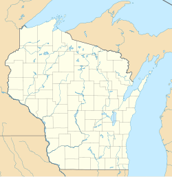
USA Wisconsin location map.svg
Red pog.svg
Shopiere, Wisconsin
Usa edcp location map.svg
Red pog.svg
Shopiere, Wisconsin
Coordinates: 42°34′20″N88°56′24″W / 42.572219°N 88.939991°W / 42.572219; -88.939991
Country Flag of the United States.svg United States
State Flag of Wisconsin.svg Wisconsin
County Rock
Area
 • Total
0.22 sq mi (0.56 km2)
Elevation
823 ft (251 m)
Population
 (2020) [1]
 • Total
154
Time zone UTC-6 (Central (CST))
 • Summer (DST) UTC-5 (CDT)
Area code 608
GNIS feature ID1574070 [2]

Shopiere is an unincorporated community and census-designated place in the Town of Turtle, in Rock County, Wisconsin, United States. [2] [3] It was first named a CDP at the 2020 census, which showed a population of 154. [4]

Contents

History

The community was originally named Waterloo. [5] The first settlement was made in the 1830s by a colony from Connecticut. [5] The present name is derived from chaux pierre, French for limestone, which is abundant in the area. [6]

Demographics

Historical population
CensusPop.Note%±
2020 154—
U.S. Decennial Census [7]

Notable people

Notes

  1. ↑ "U.S. Census website". U.S. Census Bureau . Retrieved January 19, 2023.
  2. 1 2 "Shopiere, Wisconsin". Geographic Names Information System . United States Geological Survey, United States Department of the Interior.
  3. ↑ Wisconsin Hometown Locator
  4. ↑ "Shopiere CDP, Wisconsin". United States Census Bureau. Retrieved January 19, 2023.
  5. 1 2 Chicago and North Western Railway Company (1908). A History of the Origin of the Place Names Connected with the Chicago & North Western and Chicago, St. Paul, Minneapolis & Omaha Railways. p. 124.
  6. ↑ "Term: Shopiere [origin of place name]". Dictionary of Wisconsin History. Retrieved May 20, 2009.
  7. ↑ "Census of Population and Housing". Census.gov. Retrieved January 1, 2023.
  8. ↑ Bauchle, May L. (1926–1927). "The Shopiere Shrine". Wisconsin Magazine of History . 10 (1): 29–34.