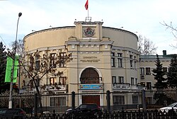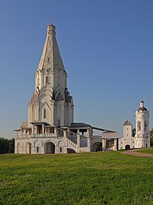
Khovrino District is an administrative district (raion), one of the sixteen in Northern Administrative Okrug of the federal city of Moscow, Russia. It is located along the Likhoborka River. The area is 5.727 square kilometres (2.211 sq mi) As of the 2010 Census, the total population of the district was 80,792.
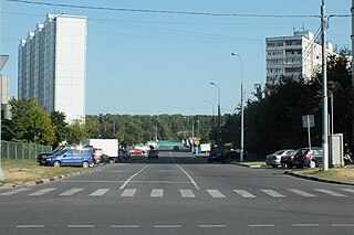
Orekhovo-Borisovo Yuzhnoye District is a territorial division in Southern Administrative Okrug, one of the 125 in the federal city of Moscow, Russia. It is located in the south of the federal city. The area of the district is 7.197 square kilometers (2.779 sq mi). As of the 2010 Census, the total population of the district was 145,588.

South-Eastern Administrative Okrug, or Yugo-Vostochny Administrative Okrug, is one of the twelve high-level territorial divisions of the federal city of Moscow, Russia. As of the 2010 Census, its population was 1,318,885, up from 1,109,121 recorded during the 2002 Census.
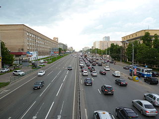
Sokol District is an administrative district (raion), one of the sixteen in Northern Administrative Okrug of the federal city of Moscow, Russia. The area of the district is 3.05 square kilometres (1.18 sq mi) As of the 2010 Census, the total population of the district was 57,133.

North-Eastern Administrative Okrug, or Severo-Vostochny Administrative Okrug, is one of the twelve high-level territorial divisions of the federal city of Moscow, Russia. As of the 2010 Census, its population was 1,359,508, up from 1,240,062 recorded during the 2002 Census.
North-Western Administrative Okrug, or Severo-Zapadny Administrative Okrug, is one of the twelve high-level territorial divisions of the federal city of Moscow, Russia. As of the 2010 Census, its population was 942,223, up from 779,965 recorded during the 2002 Census.

Eastern Administrative Okrug, or Vostochny Administrative Okrug, is one of the twelve high-level territorial divisions of the federal city of Moscow, Russia. As of the 2010 Census, its population was 1,452,759, up from 1,394,497 recorded during the 2002 Census.
South-Western Administrative Okrug, or Yugo-Zapadny Administrative Okrug, is one of the twelve high-level territorial divisions of the federal city of Moscow, Russia. As of the 2010 Census, its population was 1,362,751, up from 1,179,211 recorded during the 2002 Census.
Western Administrative Okrug, or Zapadny Administrative Okrug, is one of the twelve high-level territorial divisions of the federal city of Moscow, Russia. As of the 2010 Census, its population was 1,285,914, up from 1,049,104 recorded during the 2002 Census.
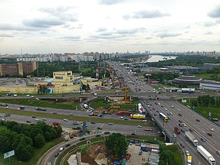
Levoberezhny District is an administrative district (raion), one of the sixteen in Northern Administrative Okrug of the federal city of Moscow, Russia. The area of the district is 8 square kilometres (3.1 sq mi). As of the 2010 Census, the total population of the district was 51,457.

Molzhaninovsky District is an administrative district (raion), one of the sixteen in Northern Administrative Okrug of the federal city of Moscow, Russia. The area of the district is 16.65 square kilometres (6.43 sq mi) As of the 2010 Census, the total population of the district was 3,521.
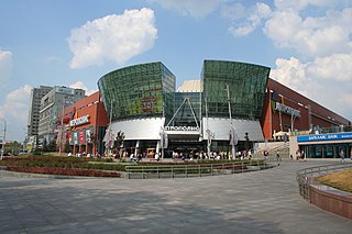
Voykovsky District is an administrative district (raion), one of the sixteen in Northern Administrative Okrug of the federal city of Moscow, Russia. It is located 10 km northwest of the Moscow city center. The area of the district is 6.6 square kilometres (2.5 sq mi) As of the 2010 Census, the total population of the district was 64,933.

Alexeyevsky District is a territorial division in North-Eastern Administrative Okrug, one of the 125 in the federal city of Moscow, Russia. It is located in the northeast of the federal city. The area of the district is 5.2931 square kilometers (2.0437 sq mi). As of the 2010 Census, the total population of the district was 78,421.
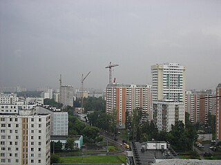
Yuzhnoye Medvedkovo District is a territorial division in North-Eastern Administrative Okrug, one of the 125 in the federal city of Moscow, Russia. It is located in the north of the federal city. The area of the district is 3.875 square kilometers (1.496 sq mi). As of the 2010 Census, the total population of the district was 81,986.

Vostochnoye Izmaylovo District is an administrative district (raion), one of the sixteen in Eastern Administrative Okrug of the federal city of Moscow, Russia. The area is 3.84 square kilometres (1.48 sq mi). As of the 2010 Census, its population was 76,312, up from 75,450 recorded during the 2002 Census.
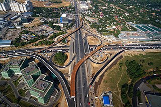
Mozhaysky District is a territorial division in Western Administrative Okrug, one of the 125 in the federal city of Moscow, Russia. It is located in the west of the federal city. The area of the district is 17.526 square kilometers (6.767 sq mi). As of the 2010 Census, the total population of the district was 132,373. Mozhaysky District takes its name after Mozhayskoe Highway, the district's major road, which in turn was named after the old Mozhayskaya road which lead to Mozhaysk town, located 110 kilometers to the west of Moscow, which was protecting west approach routes to Moscow since 13th century.

Biryulyovo Vostochnoye District is a territorial division in Southern Administrative Okrug, one of the 125 in the federal city of Moscow, Russia. It is located in the south of the city and borders with Biryulyovo Zapadnoye in the west, Tsaritsyno in the north, Orekhovo-Borisovo in the east, and Moscow Ring Road (MKAD) in the south. The area of the district is 14.772 square kilometers (5.704 sq mi). As of the 2010 Census, the total population of the district was 145,100.

Biryulyovo Zapadnoye District is a territorial division in Southern Administrative Okrug, one of the 125 in the federal city of Moscow, Russia. It is located in the south of the city and borders with Biryulyovo Vostochnoye in the east, Moscow Ring Road (MKAD) in the south, Chertanovo Yuzhnoye in the west, and Chertanovo Tsentralnoye in the north-west. The area of the district is 8.5064 square kilometers (3.2843 sq mi). As of the 2010 Census, the total population of the district was 85,726.

Chertanovo Severnoye District is a territorial division in Southern Administrative Okrug, one of the 125 in the federal city of Moscow, Russia. It is located in the south of the federal city. The area of the district is 5.4015 square kilometers (2.0855 sq mi). As of the 2010 Census, the total population of the district was 111,875.
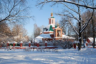
Obruchevsky District is an administrative district (raion), one of the twelve in South-Western Administrative Okrug of the federal city of Moscow, Russia. As of the 2010 Census, the total population of the district was 78,619.
