Sperry Township | |
|---|---|
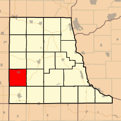 Location in Clayton County | |
| Coordinates: 42°46′40″N091°32′21″W / 42.77778°N 91.53917°W | |
| Country | |
| State | |
| County | Clayton |
| Area | |
• Total | 36.38 sq mi (94.22 km2) |
| • Land | 36.37 sq mi (94.19 km2) |
| • Water | 0.0077 sq mi (0.02 km2) 0.02% |
| Elevation | 1,093 ft (333 m) |
| Population (2000) | |
• Total | 534 |
| • Density | 15/sq mi (5.7/km2) |
| GNIS feature ID | 0468733 |
Sperry Township is a township in Clayton County, Iowa, United States. As of the 2000 census, its population was 534.
