Kuttippuram is a town and a block headquarters, which is situated in the Tirur Taluk, Malappuram district in the Indian state of Kerala. The town is located 32 kilometres south of Malappuram. The Bharathappuzha river flows through Kuttippuram. According to the last Census of India conducted in 2011,
Adhur is a village in Kasaragod district in the state of Kerala, India.

Chengala is a town in the Kasaragod district of Kerala, India. It is situated about 6 kilometres (3.7 mi) east of Kasaragod, between National Highway 66 and the Payaswini or Chandragiri River.
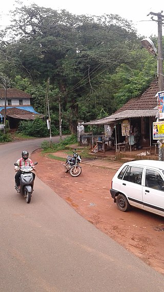
Cherkala is a small town located in the Kasaragod district of the Indian state of Kerala. It is located about 7 kilometres (4.3 mi) east of Kasaragod, at the intersection of National Highway 66, State Highway 31, and State Highway 55. Attractions in and around Cherkala include Thooku Paalam bridge, which crosses the Chandragiri River, and the forest of the nearby village of Paika. L.B.S College of Engineering is located nearby.
State Highway 6 is a State Highway in Kerala, India that starts in Kayamkulam and ends in Thiruvalla. The highway is 30.8 kilometres (19.1 mi) long.(NH66 to MC road)
State Highway 16 is also known as Aluva - Munnar Road is a State Highway in Kerala that starts from Aluva and ends at Northern outlet road in Munnar. The highway is 57.3 km long.
State Highway 19 is a State Highway in Kerala that starts from Munnar and ends Kumily. The highway is 106.0 km long.
State Highway 29 is a State Highway in Kerala, India that starts at junction of NH 766 at Chundale near Kalpetta and ends in Kerala State Boundary with Tamil Nadu. This highway was originally Kozhikode - Vythiri - State Border and was 97 km long. After the section of the highway from Kozhikode until Chundale became part of NH 212, this highway is now 31.0 km long.
State Highway 32 is a State Highway in Kerala, India that starts in Athirampuzha and ends in Poonjar. The highway is 37.9 km long.
State Highway 55 is a State Highway in Kerala, India that starts in Cherkala and ends in Panjikal. The highway is 39.1 km long.
State Highway 34 is a State Highway in Kerala, India that starts in Koyilandy and ends in Edavanna. The highway is 44.0 km long.
State Highway 45 is a State Highway in Kerala, India that starts from Capital city of Thiruvananthapuram and ends in #Vithura- Ponmudi. The highway is 61 km long. This road passes through the town of Vithura in Trivandrum. [1]
State Highway 47 is a State Highway in Kerala, India that starts in Attingal and ends in Nedumangadu. The highway is 18.5 km long. It is a major highway in thiruvananthapuram district that interconnect two important towns Attingal and Nedumangad, And also the Road is the only way to connect the SH 1 |Main-Central Road and National Highway 66 from the north - eastern hilly areas of Nedumangad.
State Highway 50 is a State Highway in Kerala, India that starts in Chavakkad and ends in Wadakkancherry. The highway is 31.515 km long.
State Highway 61 is a State Highway in Kerala, India that starts in Potta and ends in Moonupeedika. This highway is 21 km long. It connects National Highway 66 to National Highway 544 which are two main national highways in Kerala. Irinjalakuda town is situated on this road which is the headquarters of Irinjalakuda Revenue Division and Mukundapuram Taluk. Irinjalakuda railway station is also located along this road
State Highway 74 is a State Highway in Kerala, India that starts in Vazhakode and ends in Alathur. The highway is 33.69 km long. The road connects important towns Chelakkara and Pazhayannur

Nadubail is a small village in Enmakaje Panchayat, Kasaragod District of Kerala, India. It belongs to North Kerala Division. It is located three kilometers away from Panchayat's headquarters.

Perla is an administrative capital of Enmakaje Panchayat, which is in Kasaragod district, Kerala, India.
Vidyanagar is a locality in Kasaragod municipality. It is located 5.6 KM from Kasaragod town in the state of Kerala, India at the National Highway 66 towards Kannur.
Adoor is a village in Kasaragod district in the Indian state of Kerala. Adoor is located 38 km east of Kasaragod town and 7 km away from State Highway 55 or Cherkala-Jalsoor road.

