
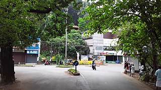
Iritty is a municipality and taluk of Kannur district in Kerala state, India. The town is the main market place for the farmer communities in the surrounding regions. Iritty is at a distance of 20 km (12 mi) from Kannur International Airport and one among five taluks in Kannur district. Iritty is one of the major towns lies between Coorg and Kannur international airport near Mattanur.
Padiyoor is a small town in Kannur district of Kerala state, India. Padiyoor village is part of Padiyoor-Kalliad Grama Panchayat in Iritty taluk.

Mattanur, also spelled Mattannur, is a town, municipality, and an aerotropolis in Kannur district, Kerala, India. Mattanur is about 27 km east of Kannur and Thalassery, two major towns of the district.
Kadirur is a census town and city suburb of Thalassery within the Thalassery Taluk of Kannur District in the State of Kerala, India. Kadirur is located about 8 km (5.0 mi) from the Thalassery Township. Kadirur is located on the Tellicherry-Mysore road.
Irikkur is a town and grama panchayat in Kannur District of Kerala state, India.

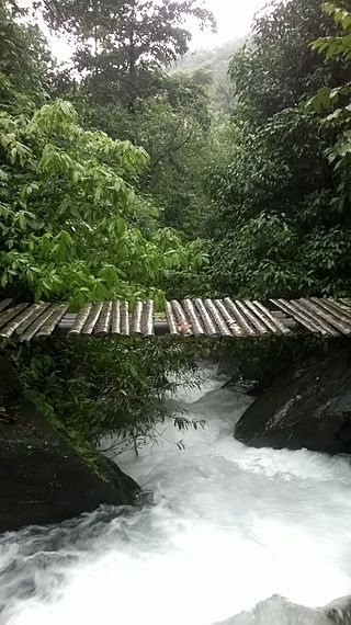
Peravoor is a town and grama panchayat in Kannur district of Kerala state in India. It is located 50 km (31 mi) east of Kannur and 40 km (25 mi) north east of Thalassery. Iritty, the nearest municipality, is 14 km (8.7 mi) north of Peravoor. Peravoor is situated in the Western Ghats mountain range.

Ulikkal is a small town in Kannur district of Kerala state, India. It is the HQ of Ulikkal Grama Panchayat in Iritty taluk. Kerala State Hill highway SH 59 passes through Ulikkal town. Ulikkal Panchayat borders Kodagu district of Karnataka in the east, adjacent to Kalanki hill station.

Sreekandapuram is a municipality in Kannur district of the Indian state of Kerala.

Naduvil is a small town in Kannur district in the Indian State of Kerala. The town is the headquarters of Naduvil Grama panchayat.
Alakode is an emerging town and a panchayat in Kannur district in the Indian state of Kerala. It is located 46 km (29 mi) north of district headquarters Kannur. Alakode is located on Taliparamba-Manakadavu-Coorg Road. Alakode was one of the major centers of Malabar Migration.

Manathana is a village in Peravoor Grama Panchayat of Kannur district, Kerala, India.
Nuchiyad is a village in Kannur district in the Indian state of Kerala.

Payyavoor is a small town in Kannur district in the Indian state of Kerala. It's the headquarters of Payyavoor Grama Panchayat.
State Highway 2 is a State Highway in Kerala, India that starts from Thiruvananthapuram Peroorkada and ends near Thenmala Kollam by joining with Kollam-Tirumangalam NH-744. The highway is 73.2 km long. The major towns in this highway are Nedumangad, Palode, Madathara and Kulathupuzha.
State Highway 5 is a State Highway in Kerala, India that starts in Kayamkulam and ends at Punalur. The highway is 42.5 km long. This highway is also called as KP Road or Kayamkulam - Punalur Road and the road helps interstate transportation between Alappuzha district and Tenkasi, Tuticorin.
State Highway 10 is a State Highway in Kerala, India, that starts in Mavelikkara and ends in Kozhencherry. The highway is 28.7 km long.
State Highway 30 is a State Highway in Kerala, India that starts in Thalassery and ends at the state boundary. The highway named as Thalassery Coorg Road is 55.1 km (34.2 mi) long.
State Highway 53 is a State Highway in Kerala, India that starts in Mundur and ends by Perinthalmanna. The highway is 48.1 km long.
State Highway 47 is a State Highway in Kerala, India that starts in Attingal and ends in Nedumangadu. The highway is 18.5 km long. It is a major highway in thiruvananthapuram district that interconnect two important towns Attingal and Nedumangad, And also the Road is the only way to connect the SH 1 |Main-Central Road and National Highway 66 from the north - eastern hilly areas of Nedumangad.

The district capital of Wayanad is Kalpetta town. Kalpetta has very good road connectivity with the rest of Kerala and neighboring South Indian cities. National Highway 766 (India) NH766 connects Kalpetta with Kozhikode and Mysore. State Highways connect Kalpetta with Ooty in Tamil Nadu and Madikeri in Karnataka.

