
Hartford is a town in Oxford County, Maine, United States. Hartford is included in the Lewiston-Auburn, Maine metropolitan New England City and Town Area. The population was 1,203 at the 2020 census.

Pukwana is a town in Brule County, South Dakota, United States. The population was 233 at the 2020 census.
Bellevue is a city in Clay County, Texas, United States. It is part of the Wichita Falls metropolitan statistical area. The population was 289 at the 2020 census.

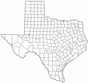
Crane is a city in and the county seat of Crane County, Texas, United States. Its population was 3,478 as of 2020. An oil boomtown since the 1920s, Crane is still in the center of a prominent oil-producing region. It is the only significant town in sparsely populated Crane County, and contains the only post office in the county.
Gardendale is an unincorporated area and census-designated place (CDP) in Ector County, Texas, United States. The population was 2,020 at the 2020 census, up from 1,574 at the 2010 census. It is part of the Odessa, Texas, Metropolitan Statistical Area.

Darrouzett is a town in Lipscomb County, Texas, United States. The population was 309 at the 2020 census, down from 350 at the 2010 census. The town is named for John Louis Darrouzet, a Texas state legislator who served as an attorney for the Santa Fe Railroad.
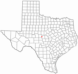
Melvin is a town in McCulloch County, Texas, United States. Its population was 123 at the 2020 census.

Mullin is a town in Mills County in northwestern Central Texas, United States. The population was 130 at the 2020 census.
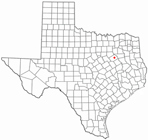
Powell is a town in Navarro County, Texas, United States. The population was 99 at the 2020 census.

Gary City is a town in Panola County, Texas, United States. The population was 335 as of the 2020 census.

Friona is a city in Parmer County, Texas, United States. The population was 4,171 at the 2020 census. Friona was established as a small community in 1898 by XIT Ranch, originally called Frio, which is also the word for "cold" in Spanish.
Annona is a town in Red River County, Texas, United States. The population was 184 at the 2020 census.
Bayside is a town in southern Refugio County, in the U.S. state of Texas. The population was 275 at the 2020 census.
Broaddus is a town in San Augustine County, Texas, United States. The population was 184 at the 2020 census.

Aspermont is a town and the county seat of Stonewall County, Texas, United States. The population was 789 at the 2020 census.

Port Mansfield is a census-designated place (CDP) in Willacy County, Texas, United States. The population was 226 at the 2010 census.

Plains is a town in and the county seat of Yoakum County of western Texas, United States. The city's population was 1,355 at the 2020 census. Yoakum County is in the Texas High Plains Wine country.

Iaeger is a town in McDowell County, West Virginia, United States. The population was 257 at the 2020 census.

Hambleton is a town in Tucker County, West Virginia, United States. The population was 216 at the 2020 census. Hambleton was established in 1889, but not incorporated until 1905. It was named by then United States Senator Stephen B. Elkins in honor of a stockholder by this name in the West Virginia Central Railroad Company. The town was previously known as Hulings.
Scotland is a city in Archer County in the U.S. state of Texas. It is part of the Wichita Falls, Texas Metropolitan Statistical Area. The population was 413 at the 2020 census. The town is named for its founder, Henry J. Scott.


