
Immingham is a town and civil parish in North East Lincolnshire, in Lincolnshire, England. It is situated on the south-west bank of the Humber Estuary, and is six miles northwest of Grimsby.

Nocton is a village and civil parish in the North Kesteven district of Lincolnshire, England. It is situated on the B1202 road, 7 miles (11 km) south-east from Lincoln city centre. The population of the civil parish at the 2011 census was 819. To the east of the village is Nocton Fen with its small settlement of Wasps Nest. To the west of the village, situated at the junction of Wellhead Lane and the B1188 road, is Nocton Top Cottages consisting of eight further dwellings. At the south of the village are the remains of Nocton Hall, and 1 mile (2 km) to the east the earthwork remains of Nocton Park Priory.
Flixborough is a village and civil parish in North Lincolnshire, England. The population of the civil parish at the 2011 census was 1,664. It is situated near the River Trent, approximately 3 miles (5 km) north-west from Scunthorpe. The village is noted for the 1974 Flixborough disaster.
Algarkirk is a village and civil parish in the Borough of Boston in Lincolnshire, England. It is situated 6 miles (9.7 km) south-south-west from Boston and near the A16 road. It has a population of 406, falling to 386 at the 2011 census. An alternative village spelling is 'Algakirk'.

Whissonsett is a village and a civil parish in the English county of Norfolk. The village is 5.0 miles (8.0 km) south of Fakenham, 23 miles (37 km) west-north-west of Norwich and 112 miles (180 km) north-north-east of London. The nearest railway station is at King's Lynn for the Fen Line which runs between King's Lynn and Cambridge. The nearest airport is Norwich International Airport. The parish had in 2001 census, a population of 483 in 206 households, increasing to a population of 488 in 209 households at the 2011 Census. For the purposes of local government, the parish falls within the district of Breckland. The village lies close to the source of the River Wensum.

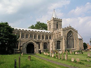
Billinghay is a village and civil parish in the North Kesteven district of Lincolnshire, England. The village is situated approximately 7 miles (11 km) north-east from Sleaford, and lies on the B1189 Walcott road near its junction with the A153. Just south of the village towards Sleaford is North Kyme. According to the 2001 census the parish had a population of 1,808, increasinging to 2,190 at the 2011 census, increasinging to 2,203 at the 2021 census.

North Runcton is a village and a civil parish in the English county of Norfolk. The village is 43.2 miles (69.5 km) west of Norwich, 4.3 miles (6.9 km) south-south-west of King's Lynn and 102 miles (164 km) north of London. The village is located a small distance south-west of the A47 between King's Lynn and Swaffham. The nearest railway station is at King's Lynn for the Fen Line which runs between King's Lynn and Cambridge. The nearest airport is Norwich International Airport. The parish of North Runcton in the 2001 census, has a population of 266, increasing to 549 at the 2011 Census. For the purposes of local government, the parish falls within the district of King's Lynn and West Norfolk.

Washingborough is a village in the North Kesteven district in Lincolnshire, England. Located 3 miles (5 km) east of Lincoln and 18 miles (29 km) from Sleaford. The population in the 2001 census was 3,356, increasing to 3,482 at the 2011 census. It is situated on the lower slopes of Lincoln Cliff limestone escarpment where the River Witham breaks through it. The south side of Lincoln Cathedral and its three towers can be seen from the village centre.

Leadenham is a village and civil parish in North Kesteven district of Lincolnshire, England. The population of the civil parish at the 2011 census was 410. It lies 11 miles (18 km) north from Grantham, 14 miles (23 km) south of Lincoln and 9 miles (14 km) north west of Sleaford on the A607 between Welbourn and Fulbeck, and at the southern edge of the Lincoln Cliff.

Caythorpe is a large village and civil parish in the South Kesteven district of Lincolnshire, England. The population at 2011 census was 1,374. It is situated on the A607, approximately 3 miles (5 km) south from Leadenham and 9 miles (14 km) north from Grantham. Caythorpe Heath stretches east of the village to Ermine Street and Byards Leap.
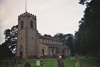
Waddingham is a village and civil parish in the West Lindsey district of Lincolnshire, England. It is geographically situated 1.5 miles (2.4 km) to the east of the A15 road, 10 miles (16 km) south-east from Scunthorpe and 16 miles (26 km) north from Lincoln. According to the United Kingdom Census 2001 Waddingham had a population of 548; by the time of the United Kingdom Census 2011, the population had increased to 601.
Scawby is a village and civil parish in North Lincolnshire, England. It is situated 2 miles (3 km) south-west from Brigg, and just east from the A15 road, and south from the M180 motorway. According to the 2001 Census, Scawby population was 2,277, reducing slightly to 2,243 at the 2011 census.

Singleton is a village, Anglican parish and civil parish in the Chichester district of West Sussex, England. It lies in the Lavant valley, 5 miles (8 km) miles north of Chichester on the A286 road to Midhurst.

East Halton is a small village and civil parish in North Lincolnshire, England. It is situated close to the Humber estuary, approximately 4 miles (6 km) north-west from Immingham and 1 mile (1.6 km) north from the neighbouring village of North Killingholme.
Edenham is a village and civil parish in the South Kesteven district of Lincolnshire, England. It is approximately 3 miles (5 km) north-west of Bourne, and on the A151 road. While the civil parish is called 'Edenham', the parish council is called Edenham, Grimsthorpe, Elsthorpe & Scottlethorpe Parish Council. The population of the civil parish at the 2011 census was 291.

Wootton is a small village and civil parish in North Lincolnshire, England. The population of the civil parish at the 2011 census was 475. It is situated 5 miles (8 km) south-east from Barton-upon-Humber, 7 miles (11 km) north-east from Brigg and 3 miles (5 km) north from Humberside Airport.

Sutton Weaver is a village and civil parish in the unitary authority of Cheshire West and Chester, in the ceremonial county of Cheshire, England. It is 2 miles (3.2 km) northeast of Frodsham and 2.5 miles south of Runcorn. According to the United Kingdom Census 2011, it had a population of 495 and a total land area of 3,198 sq metres (m2) (thousands). The village has 206 Households with some of the main industries of the village being Wholesale and Retail Trade, Human Health and Social Work Activities and Manufacturing; These three sectors alone account for 36.5% of Occupational Share.

Kexby is a small village and civil parish in the West Lindsey district of Lincolnshire, England. The population of the civil parish at the 2011 census was 340. It lies at the side of the B1241 road, and is situated 4 miles (6 km) south-east of Gainsborough and 11 miles (18 km) north-west of the city and county town of Lincoln.

Haconby is a village and civil parish in the South Kesteven district of Lincolnshire, England. The population of the civil parish at the 2001 census was 448 increasing to 532 at the 2011 census. It is situated on the western edge of the Lincolnshire Fens, 3 miles (5 km) north from Bourne.

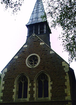
Thorpe on the Hill is a small village and civil parish in North Kesteven, Lincolnshire, England.


