Willowbend, Houston

Last updated
Signage in median at entrance into Willowbend neighborhood. WillowbendHouston.JPG
Signage in median at entrance into Willowbend neighborhood.

Willowbend is a neighborhood in near Southwest Houston, Texas.

Contents

Willowbend is just outside the 610 Loop and inside Beltway 8. The neighborhood is bound by the following streets: S. Post Oak Road to the West, Greenwillow Drive to the East, Briarbend Drive to the South, and Hazelton Street to North. The subdivision's main thoroughfare is Willowbend Boulevard with its center point at Willowbend and Cliffwood. Surrounding neighborhoods, include: Willow Meadows to the North, Meyerland to the Northwest, Westbury to the West. Willowbend is surrounded by numerous points of interest, including: Willow Waterhole Park, Meyerland Plaza, The Texas Medical Center, and NRG Stadium.

History

Willowbend is a comfortable upper middle-class residential neighborhood in southwest Houston, Texas. It has become a highly desirable neighborhood due to its low crime rate, friendly residents, and proximity downtown Houston, the Texas Medical Center, and the Interstate 610 loop. The neighborhood has hosted a number of youth sports programs such as the Willow Creek Little League, FUN Football Raiders, or Red Raiders. Many athletes got their start in these youth leagues.[ citation needed ]

The eastern and southern sides of the neighborhood are bounded a large field which forms a buffer between the railroad tracks and Willowbend homes. This large field is a unique and attractive feature of the neighborhood as it features horses, cows, jack rabbits, turtles, crawfish, natural ponds, snakes, and other wildlife. Many children have enjoyed the opportunity to explore the land and learn about animals and nature while surrounded by Houston's vibrant metropolitan region.

Willow Water Hole is also located adjacent to the neighborhood to the south along South Post Oak Boulevard. Willow Water Hole hosts regular nature-oriented events as well as an award-winning annual music festival. [1]

Willow Creek is a bayou that runs through the neighborhood. Willow Creek empties into the larger Braes Bayou. During Hurricane Harvey, some houses near the creek sustained substantial flooding, necessitating remediation and repairs. Some damaged homes were razed and replaced with new and larger residences.

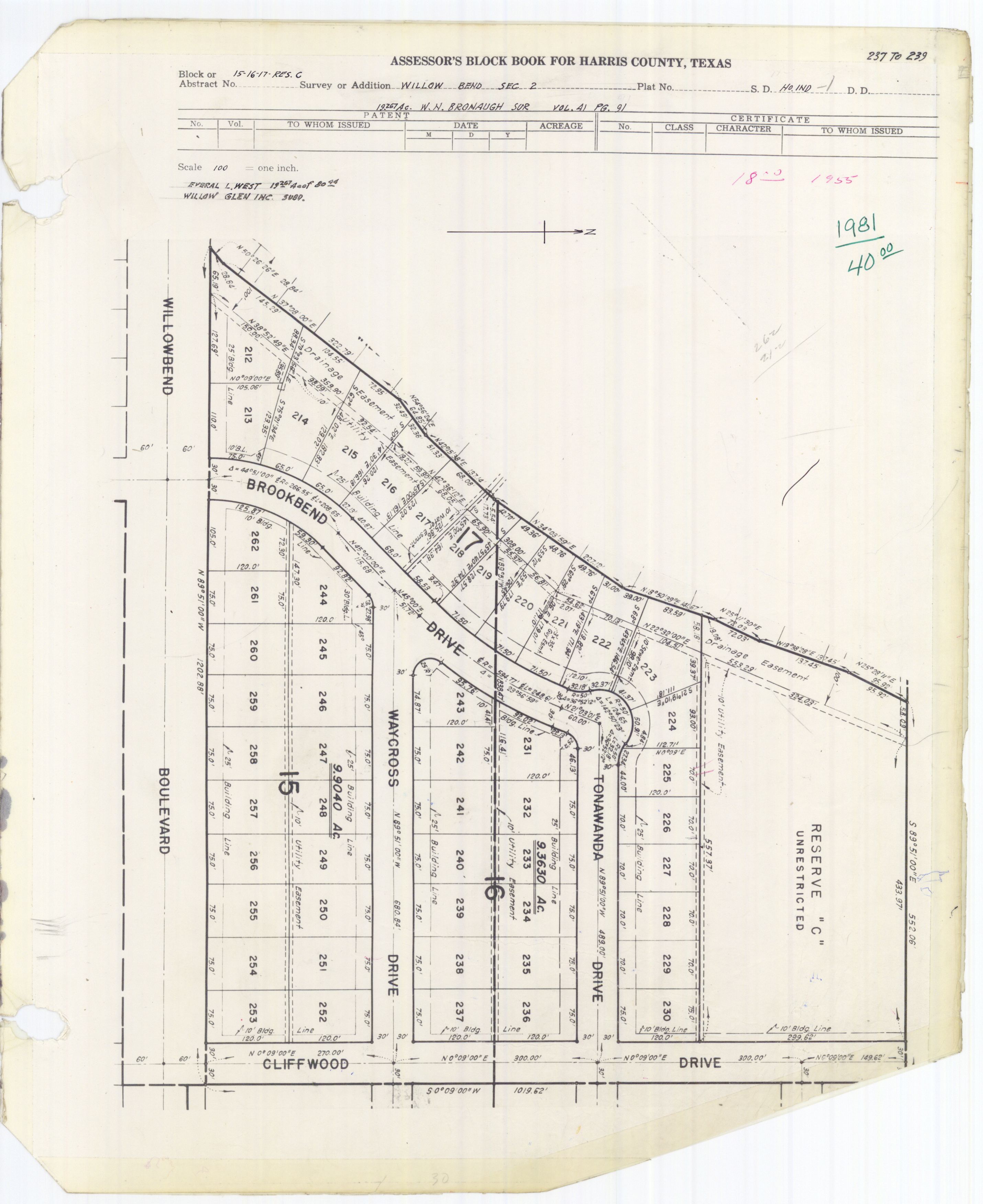
In 1973, Willowbend was the site of attacks committed by Larry Delon Casey. Casey, upset about his father's death, gunned down three schoolgirls, a toddler, and an elderly woman and injured two others. Several of the victims were walking home from Red Elementary School when shot. [2] Casey remains in prison for the murders, which occurred on Greenwillow, Willowilde, Benning, Creekbend streets and near the intersection of Cliffwood and Stillbrooke drives. [3]

Government and infrastructure

Willowbend is in Texas’ 9th congressional district as of the 2021 87th legislative session redistricting [4]

Willowbend is in Houston City Council District K. [5]

Harris Health System (formerly Harris County Hospital District) designated Valbona Health Center (formerly People's Health Center) in Greater Sharpstown for ZIP code 77035. The nearest public hospital is Ben Taub General Hospital in the Texas Medical Center. [6]

Education

Primary and secondary schools

Public schools

Red Elementary School RedElementaryHouston.JPG
Red Elementary School

Willowbend residents are zoned to the following Houston ISD schools: [7] Red Elementary School, Meyerland Performing and Visual Arts Middle School (formerly Johnston Middle School), and Westbury High School. [8] [9] [10] [11] Meyerland Middle-zoned residents may attend Pin Oak Middle School. [10]

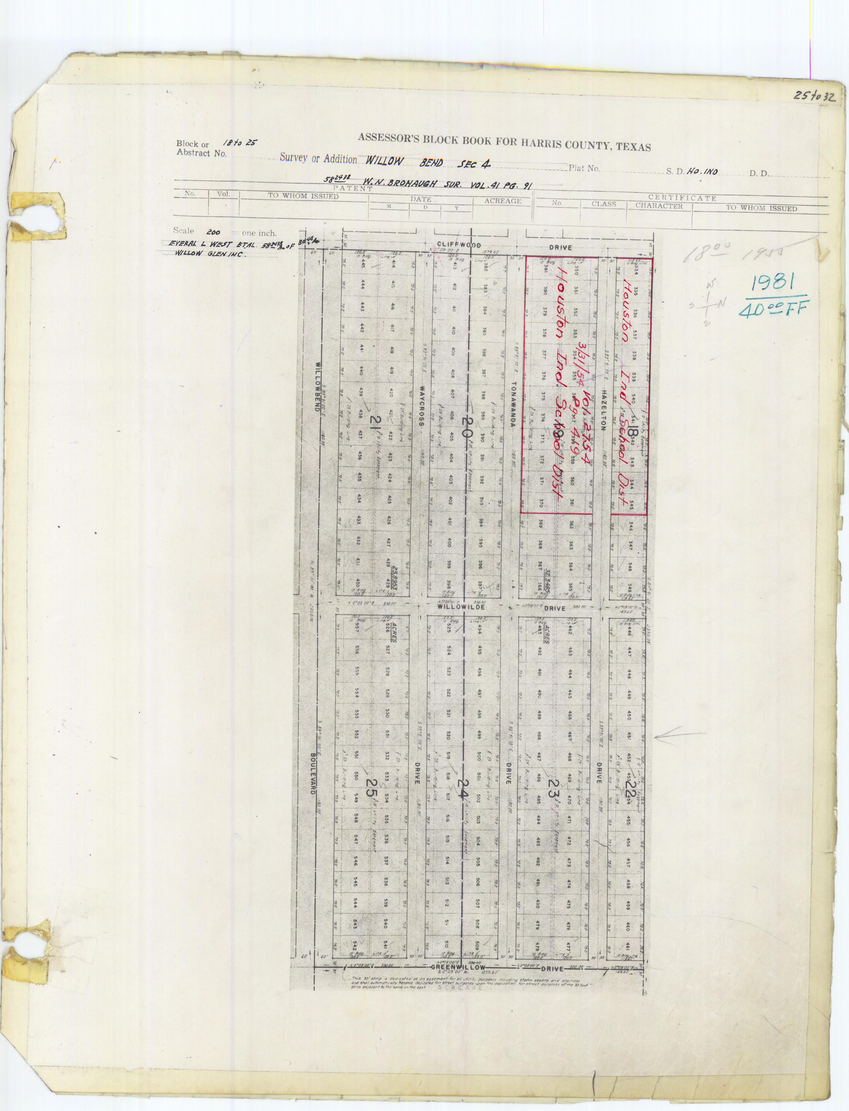
Red Elementary School is located in Willowbend Section 4. [12] [13] Named after doctor Samuel Clark Red, [14] it opened in 1957. It received a magnet program in mathematics, science, and technology, converted into a full STEM magnet in 2012. Circa 2019 it had about 600 students. [15]

Private schools

The Robert M. Beren Academy, a K-12 Judaic school, is located in the area .

Trafton Academy (Pre-K through 8) is also in the area. Ms. Wagner's School became the lower grades of Trafton Academy.

Trafton Academy is located in Willowbend Section 2. [16] [17]

The Emery/Weiner School is east of the subdivision bordering the Westwood subdivision.

Colleges and universities

Houston Community College System serves the neighborhood.

Police service

The neighborhood is within the Houston Police Department's Southwest Patrol Division . Neighborhood residents also make yearly contributions for additional security patrols by off-duty police officers.

Parks and recreation

Willow Park, a park operated by the City of Houston, is located at 10400 Cliffwood, adjacent to Red Elementary School . The large park features a playground, picnic facilities, a softball/soccer field, tennis courts and a small parking lot. It is the central spot of the neighborhood. A new sand volleyball court was added to the park in 2008. Across the street, there is a lovely neighborhood pool with verdant green lawns, plenty of shade trees and a world-class swim team (Willow Wahoos).

Willow Park is in Willow Meadows Section 3. [18]

Media

The Bellaire Texan, which served the Willowbend community in the mid-20th Century, [19] was headquartered in Bellaire and published by the Texan Publishing Corporation. [20] By 1975 it became known as the Bellaire & Southwestern Texan and was published by the Preston Publishing Company. It was then headquartered in Houston. [21]

See also

Related Research Articles

<span class="mw-page-title-main">Bellaire High School (Texas)</span> Public secondary school in Bellaire, Texas, United States

Bellaire High School is a comprehensive, public secondary school in Bellaire, Texas. Part of the Houston Independent School District, it serves the incorporated city of Bellaire, the Houston community of Meyerland, and other adjacent Houston neighborhoods. It has a racially and socioeconomically diverse student body.

<span class="mw-page-title-main">Sharpstown, Houston</span>

Sharpstown is a master-planned community in the Southwest Management District, Southwest Houston, Texas. It was one of the first communities to be built as a master-planned, automobile centered community and the first in Houston. Frank Sharp (1906–1993), the developer of the subdivision, made provisions not only for homes but also for schools, shopping and recreation areas. While this model has been duplicated countless times in the past fifty years, at the time it was quite revolutionary, attracting national media attention. The development was dedicated on March 13, 1955.

<span class="mw-page-title-main">Westbury, Houston</span>

Westbury is a neighborhood in the Brays Oaks district of Southwest Houston, Texas, United States. It is located east of Bob White Road, north of U.S. Highway 90 Alternate, and west of South Post Oak Road, adjacent to the Fondren Southwest and Meyerland neighborhoods, just west of the southwest corner of the 610 Loop.

<span class="mw-page-title-main">Pershing Middle School (Houston)</span> Middle school in Houston, Texas

John J. Pershing Middle School is a middle school in Houston, Texas, United States. It is located in the Braeswood Place neighborhood, near the Texas Medical Center.

<span class="mw-page-title-main">Westbury High School (Houston)</span> High school in Brays Oaks, Texas

Westbury High School is a secondary school located in the Brays Oaks, of Southwest Houston, Texas, near the Westbury neighborhood. It has grades 9 through 12, and is part of the Houston Independent School District. In 2019, Jerri Nixon succeeded Susan Monaghan as principal, who had retired.

<span class="mw-page-title-main">Meyerland, Houston</span> Community in Houston, Texas

Meyerland is a community in southwest Houston, Texas, outside of the 610 Loop and inside Beltway 8. The neighborhood is named after the Meyer family, who bought and owned 6,000 acres (24 km²) of land in southwest Houston.

<span class="mw-page-title-main">Southampton, Houston</span>

Southampton Place, also known as Southampton, is a neighborhood located in Houston, Texas. The Southampton Civic Club Inc. is the homeowners' association.

<span class="mw-page-title-main">Oak Forest, Houston</span>

Oak Forest is a large residential community in northwest Houston, Texas, United States. Oak Forest is the third largest group of subdivisions in Harris County.

Pecan Park is a neighborhood in Houston, Texas.

<span class="mw-page-title-main">Maplewood South–North, Houston</span>

Maplewood South/North is a group of subdivisions in Houston, Texas.

<span class="mw-page-title-main">Willow Meadows, Houston</span>

Willow Meadows is a subdivision in Houston, Texas, United States.

<span class="mw-page-title-main">Maplewood, Houston</span>

Maplewood is a community in Houston, Texas located outside the 610 Loop, southwest of Downtown Houston. It consists of 524 houses. They are one-story and two-story houses, as two stories is the limit allowed by the subdivision. The oldest houses were built in the early 1950s. Maplewood is located along Beechnut, Hillcroft, and Renwick.

<span class="mw-page-title-main">Brays Oaks, Houston</span>

Brays Oaks, formerly known as Fondren Southwest, is an area in Southwest Houston, Texas, United States. The Brays Oaks Management District, also known as the Harris County Improvement District #5, governs the Brays Oaks area as well as other surrounding areas, such as Westbury. The City of Houston also defines the Brays Oaks Super Neighborhood, with separate boundaries.

<span class="mw-page-title-main">Southwest Management District</span> District in Houston, Texas

Southwest Management District, formerly Greater Sharpstown Management District, is a district in Houston, Texas, United States. The district is split into 6 neighborhoods: Sharpstown, Chinatown, Mahatma Gandhi District/Little India, Westwood, Harwin, and University.

Robindell is a subdivision in Southwest Houston, Texas.

<span class="mw-page-title-main">Westwood (subdivision), Houston</span>

Westwood is a residential subdivision in Southwest Houston, Texas. The subdivision is bounded by the 610 Loop, the Union Pacific railroad tracks, Stella Link Road, and Willowbend Boulevard. It has about 800 houses.

<i>Village News and Southwest News</i>

The Village News and Southwest News is a local newspaper in Greater Houston, headquartered in Bellaire, Texas.

<span class="mw-page-title-main">Knollwood Village, Houston</span>

Knollwood Village is a subdivision in Houston, Texas. It is managed by the Knollwood Village Civic Club (KVCC), which governs Knollwood Village sections 1-10 and Braes Terrace II.

References

  1. "MusicFEST 2019 Wins Prestigious Houston Arts Alliance Grant".
  2. "Texas Gunman Kills Woman and 2 Girls". The New York Times. 19 April 1973.
  3. Sablatura, Bob. "Decades later, victims face assailant / Women recount 1970s shooting; Casey gets life for murder plot." Houston Chronicle . Saturday October 9, 2004. B1 MetFront. Retrieved on November 5, 2011.
  4. "Texas Redistricting". Texas.gov. 22 October 2021. Retrieved 17 February 2022.
  5. City of Houston, Council District Maps, District K." City of Houston. Retrieved on November 5, 2011.
  6. "Clinic/Emergency/Registration Center Directory By ZIP Code". Harris County Hospital District. 2001-11-19. Archived from the original on 2001-11-19. Retrieved 2021-04-08. - See ZIP code 77035. See this map for relevant ZIP code.
  7. "Section Map" (Archive). Willowbend Civic Club. Retrieved on April 13, 2014.
  8. "Red Elementary Attendance Boundary," Houston Independent School District
  9. "Johnston Middle Attendance Boundary," Houston Independent School District
  10. 1 2 "Pin Oak Middle School." The Southwest District. Houston Independent School District.
  11. "Westbury High School Attendance Boundary," Houston Independent School District
  12. "Willow Bend, Section 4." JPG, PDF. Harris County Assessor's Block Book Map. Volume 83, Page 7. Retrieved on July 25, 2017.
  13. Home. Red Elementary School. Retrieved on July 25, 2017. "4520 Tonawanda Houston, TX 77035-3716"
  14. "School Histories Elementary Schools (K-Z)". Houston Independent School District . Retrieved 2019-08-12.
  15. "Our History". Red Elementary School. Retrieved 2019-08-12.
  16. "Willow Bend, Section 2." PDF, JPG. Harris County Assessor's Block Book Map. Volume 83, Page 7. Retrieved on July 25, 2017.
  17. Home. Trafton Academy. Retrieved on July 25, 2017. "Trafton Academy•4711 McDermed•Houston, Texas 77035"
  18. "Willow Meadows Sec. 3" (JPG, PDF). Harris County Assessor's Block Book Map. Volume 85, Page 81. Retrieved on July 25, 2017.
  19. The Bellaire Texan (Bellaire, Tex.), Vol. 2, No. 31, Ed. 1 Wednesday, September 14, 1955. p. 1 of 16 (see page). At the Portal to Texas History, University of North Texas. Retrieved on March 2, 2017. "215 N. 6th St., Bellaire, Texas"
  20. The Bellaire Texan (Bellaire, Tex.), Vol. 2, No. 31, Ed. 1 Wednesday, September 14, 1955. p. 4 of 16 (see page). At the Portal to Texas History, University of North Texas. Retrieved on March 2, 2017. "215 N. 6th St., Bellaire, Texas"
  21. The Bellaire & Southwestern Texan (Bellaire, Tex.), Vol. 24, No. 8, Ed. 1 Wednesday, June 25, 1975 Page: 2 of 47 (see page). At the Portal to Texas History, University of North Texas. Retrieved on March 2, 2017. "6622 Ferris St. Houston, Texas 77036"