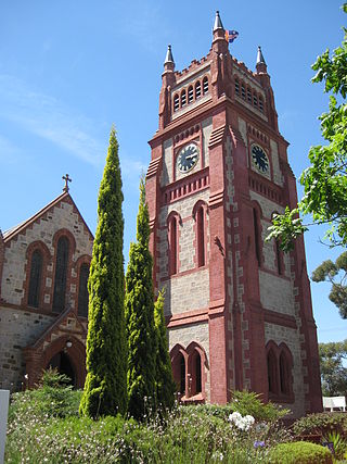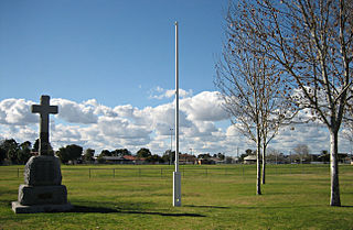
Para Hills is a residential suburb of Adelaide, South Australia. There is a light aircraft airport close to its boundary, and numerous sporting facilities, abundant parks and schools and two medium-sized shopping centres. Most of the suburb is in the City of Salisbury while some is in the City of Tea Tree Gully.

Unley is an inner-southern suburb of Adelaide, South Australia, within the City of Unley. The suburb is the home of the Sturt Football Club in the South Australian National Football League (SANFL). Unley neighbours Adelaide Park Lands, Fullarton, Hyde Park, Malvern, Parkside and Wayville.
Westbourne Park is an inner southern suburb of Adelaide, the State capital of South Australia. The suburb was named after Westbourne, a village in Sussex, England, and was laid out in 1881.
Payneham is an eastern suburb of Adelaide in the City of Norwood Payneham St Peters. It is part of a string of suburbs in Adelaide's east with a high proportion of Adelaide's Italian-Australian and French-Australian residents, many of whom can be traced back to the large-scale migration following the Second World War.
Seacliff Park is a suburb of Adelaide partly in the City of Marion and the City of Holdfast Bay. The suburb is adjacent to South Brighton in the north, Seaview Downs to the east, Hallett Cove to the south, and Marino and Seacliff on its western side. The suburb is divided diagonally by Ocean Road, with the northern part of the suburb mainly residential, and the southern park partly occupied by a golf course and a quarry.

Tranmere is an eastern suburb of Adelaide, South Australia. It is located in the City of Campbelltown.

Cheltenham is a suburb of Adelaide, South Australia. It is located on Kaurna Land in the City of Charles Sturt.
Clearview is a suburb of Adelaide, South Australia about 8 km north of the Adelaide city centre. The rectangular suburb is bordered by Grand Junction Road on the north, Hampstead Road on the east, Collins Street, Broadview on the south, and the suburb of Enfield on the west.
Rostrevor is a suburb of Adelaide within the City of Campbelltown and the Adelaide Hills Council. It is located about 10 kilometres east-north-east of the Adelaide city centre. Rostrevor has a creek running through the middle of it, called Fourth Creek, which runs into the River Torrens.

Walkerville is a suburb of Adelaide, South Australia. It lies just north east of the city centre, about 4 kilometres (2.5 mi) from the Adelaide GPO. Walkerville is one of South Australia's most affluent suburbs and in 2012 it was South Australia's second "top earning suburb."

Castambul is a small locality near Adelaide, South Australia. It is located in the Adelaide Hills Council local government area.

Rosewater is one of the western suburbs of Adelaide and is located 10 km north-west of Adelaide's central business district. Although mainly residential, there are many shops along Grand Junction Road and the closed Rosewater Loop railway line runs through the suburb. Rosewater is split in half by Grand Junction Road and bordered on the east by Addison Road, and on the south by Torrens Road.

Ovingham is an inner northern suburb of Adelaide, South Australia. It is located in the cities of Charles Sturt and Prospect.
Coromandel Valley is a semirural south-eastern suburb of Adelaide, South Australia. It straddles the City of Mitcham and the City of Onkaparinga council areas, with the Sturt River being the boundary between the two council areas.
Albert Park is a suburb of Adelaide, South Australia. It is located in the City of Charles Sturt.
Seaford is a metropolitan suburb of Adelaide, South Australia. It lies within the City of Onkaparinga. Seaford railway station is the southern terminus of the Seaford railway line from Adelaide railway station.

Kangarilla is a small rural town and locality around 33 km (21 mi) from Adelaide city centre, in South Australia. The area, formerly inhabited by Kaurna people, was settled by Europeans in 1840, not long after the British colonisation of South Australia. Today it lies within the City of Onkaparinga local government area, and has postcode 5157. At the 2016 census, Kangarilla had a population of 896.

Beverley is a western suburb of Adelaide, South Australia. It is located in the City of Charles Sturt.
Brahma Lodge is a northern suburb of Adelaide, South Australia. It is located in the City of Salisbury.
Dr John Woodforde was a medical professional, one of the earliest settlers to the British colony of South Australia and its capital, Adelaide.


