This is a list of the National Register of Historic Places listings in San Diego County, California.
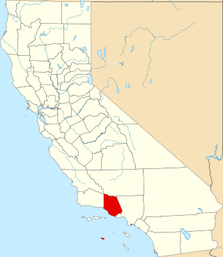
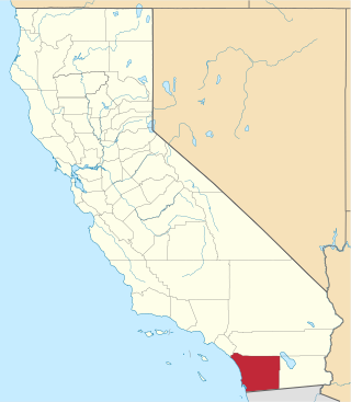
This is a list of the National Register of Historic Places listings in Ventura County, California.

This is a list of the National Register of Historic Places listings in Humboldt County, California.

This is a list of the National Register of Historic Places listings in Riverside County, California.

This is a list of the National Register of Historic Places listings in Shasta County, California.
This is a list of the National Register of Historic Places listings in Tuolumne County, California.
This is a list of the National Register of Historic Places listings in Solano County, California.

This is a list of the National Register of Historic Places listings in Mono County, California.

This is a list of the National Register of Historic Places listings in Plumas County, California.

This is a list of the National Register of Historic Places listings in Sierra County, California.

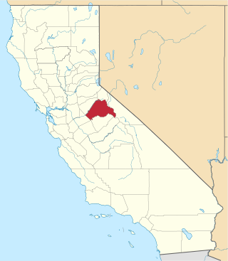
This is a list of the National Register of Historic Places listings in Stanislaus County, California.

This is a list of the National Register of Historic Places listings in Modoc County, California.

This is a list of the National Register of Historic Places listings in Amador County, California.

This is a list of the National Register of Historic Places listings in Inyo County, California.

This is a list of the National Register of Historic Places listings in Merced County, California.
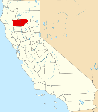
This is a list of the National Register of Historic Places listings in Tehama County, California.
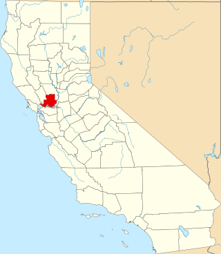
List table of the properties and districts — listed on the California Historical Landmarks — within Calaveras County, California.
Properties and districts listed as California Historical Landmarks within Kern County.
List table of the properties and districts — listed on the California Historical Landmarks in Los Angeles County, Southern California.
List table of the properties and districts — listed on the California Historical Landmarks — within San Bernardino County, Southern California.