Sugar City, Colorado | |
|---|---|
 Grain elevator (2023) | |
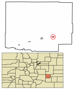 Location within Crowley County and Colorado | |
| Coordinates: 38°13′55″N103°39′53″W / 38.23194°N 103.66472°W [1] | |
| Country | United States |
| State | Colorado |
| County | Crowley [2] |
| Incorporated | July 2, 1900 [3] |
| Area | |
• Total | 0.39 sq mi (1.00 km2) |
| • Land | 0.39 sq mi (1.00 km2) |
| • Water | 0.00 sq mi (0.00 km2) |
| Elevation | 4,305 ft (1,312 m) |
| Population | |
• Total | 259 |
| • Density | 660/sq mi (260/km2) |
| Time zone | UTC−7 (MST) |
| • Summer (DST) | UTC−6 (MDT) |
| ZIP Code | 81076 [6] |
| Area code | 719 |
| FIPS code | 08-74815 [1] |
| GNIS ID | 195392 [1] |
| Website | Town of Sugar City |
Sugar City is a statutory town in Crowley County, Colorado, United States. [1] The population was 259 at the 2020 census. [5]
