Hepler is a city in Crawford County, Kansas, United States. As of the 2020 census, the population of the city was 90.
Angus Township is a township in Polk County, Minnesota, United States. It is part of the Grand Forks-ND-MN Metropolitan Statistical Area. The population was 112 at the 2000 census.

McIntosh is a city in Polk County, Minnesota, United States. It is part of the Grand Forks, ND-MN Metropolitan Statistical Area. The population was 606 at the 2020 census.

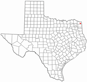
Meridian is a city in and the county seat of Bosque County in Texas, United States. It is forty-seven miles northwest of Waco. The population was 1,396 at the 2020 census.
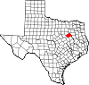
Red Lick is a city in Bowie County, Texas, United States. It is part of the Texarkana metropolis. The population was 1,008 at the 2010 census, and 946 in 2020.
Bayview is a town in Cameron County, Texas, United States. The population was 475 at the 2020 census. It is part of the Brownsville–Harlingen–Raymondville and the Matamoros–Brownsville metropolitan areas.

Lowry Crossing is a city in Collin County, Texas, United States. The population was 1,689 at the 2020 census.

Santa Clara is a city in Guadalupe County, Texas, United States. The population was 778 at the 2020 census, up from 725 at the 2010 census. It is part of the San Antonio Metropolitan Statistical Area.

Hays is a city in Hays County, Texas, United States. The population was 227 at the 2020 census.
Log Cabin is a city in Henderson County, Texas, United States. The population was 678 at the 2020 census.

Murchison is a city in Henderson County, Texas, United States. The population was 516 at the 2020 census.

Leona is a city in Leon County, Texas, United States. The population was 151 at the 2020 census.
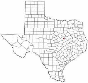
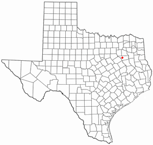
Hallsburg is a city in McLennan County, Texas, United States. The population was 419 at the 2020 census. It is part of the Waco Metropolitan Statistical Area.

Leroy is a city in McLennan County, Texas, United States. The population was 354 at the 2020 census. It is part of the Waco Metropolitan Statistical Area.

Natalia is a city in Medina County, Texas, United States. The population was 1,202 at the 2020 census. It was founded in 1912 and was named after Natalie Pearson Nicholson, daughter of Frederick Stark Pearson, engineer, designer and builder of the Medina Dam.

San Augustine is the county seat city of San Augustine County, Texas, in East Texas, United States. The population was 1,920 at the 2020 census.

Huxley is a city in Shelby County, Texas, United States. The population was 361 at the 2020 census.

Edom is a city in Van Zandt County, Texas, United States. The population was 339 at the 2020 census.

Summersville is a town in Shannon and Texas counties in the U.S. state of Missouri. The population was 453 at the 2020 census.

San Diego is a city in Duval and Jim Wells counties, Texas, United States. The population was 3,748 at the 2020 census and 4,488 at the 2010 census. It is located primarily in Duval County, of which it is the county seat.