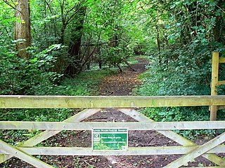
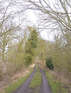
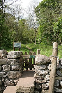
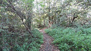
Hawkley Warren is a woodland on the northeast-facing Wealden Edge, near the village of Hawkley, three miles north of Petersfield in Hampshire. The site is situated in a deep chalk combe.

Cleeve Wood, Hanham is a is an 8.9 hectare biological Site of Special Scientific Interest (SSSI) in South Gloucestershire, notified in 1966.

Lower Woods is a 280.1-hectare (692-acre) biological and geological Site of Special Scientific Interest near the village of Wickwar, South Gloucestershire, notified in 1966 and renotified in 1985. The site area has increased at last revision in 1974 to a 284.1-hectare (702-acre) site. The site is a nature reserve managed by the Gloucestershire Wildlife Trust.
Burderop Wood is a 48.5 hectare biological Site of Special Scientific Interest in Wiltshire, notified in 1971.

Midger is a 65.7-hectare (162-acre) biological Site of Special Scientific Interest straddling the border of Gloucestershire and South Gloucestershire, notified in 1966 and renotified in 1984. Since the last revision in 1974, the size has been reduced to a 56-hectare (140-acre) site. It lies east of Hillesley, Gloucestershire and north of Hawkesbury Upton, South Gloucestershire. It is at the head of the Kilcott Valley.
Mottisfont Bats SSSI is a 230.98-hectare (570.8-acre) biological Site of Special Scientific Interest in Hampshire, notified in 2003. It is also a Special Area of Conservation.

Badby Wood is a 47.2 hectare biological Site of Special Scientific Interest (SSSI) south of Badby in Northamptonshire.

Hayley Wood is a 51.7 hectare biological Site of Special Scientific Interest south-east of Great Gransden in Cambridgeshire. It is a Nature Conservation Review site, Grade 1, and it is managed by the Wildlife Trust for Bedfordshire, Cambridgeshire and Northamptonshire.

Grass Wood is an ancient woodland of 88 hectares in Wharfedale, North Yorkshire, England, that has an exceptional ground flora of woodland wildflowers.

Old Park Wood is a 16.7-hectare (41-acre) Site of Special Scientific Interest in Harefield in the London Borough of Hillingdon. The south-east part is an 8-hectare (20-acre) nature reserve owned and managed by the Hertfordshire and Middlesex Wildlife Trust.

Denham Lock Wood is a 6.3-hectare (16-acre) biological Site of Special Scientific Interest (SSSI) next to the Grand Union Canal, and near Denham in the London Borough of Hillingdon. It was notified in 1986 and is managed by the London Wildlife Trust on behalf of Hillingdon Council. It lies within the Colne Valley Regional Park.

Dymock Woods is a 53-hectare (130-acre) biological Site of Special Scientific Interest in Gloucestershire, notified in 1990. The site is listed in the 'Forest of Dean Local Plan Review' as a Key Wildlife Site (KWS).

Dingle Wood is a 9.95-hectare (24.6-acre) biological Site of Special Scientific Interest in Gloucestershire, notified in 1972. The site is listed in the 'Forest of Dean Local Plan Review' as a Key Wildlife Site (KWS). The wood is located within the Forest of Dean Forest Park and the Wye Valley Area of Outstanding Natural Beauty.

Kingscote and Horsley Woods is a 43.79-hectare (108.2-acre) biological Site of Special Scientific Interest in Gloucestershire, notified in 1966. The site is listed in the 'Cotswold District' Local Plan 2001-2011 as a Key Wildlife Site (KWS).

Puckham Woods is a 32.38-hectare (80.0-acre) biological Site of Special Scientific Interest in Gloucestershire to the east of Cheltenham near Whittington, notified in 1954. The site is listed in the 'Cotswold District' Local Plan 2001-2011 as a Key Wildlife Site (KWS).

Hanger Wood is an ancient woodland and Site of Special Scientific Interest (SSSI) in the parish of Stagsden, Bedfordshire in the United Kingdom. Situated approximately one kilometre east of the village of Stagsden, the 24.12 hectares woodland was declared a SSSI in 1988, being described by Natural England as "one of the best remaining examples of wet ash-maple woodland in Bedfordshire". The name "Hanger" comes from Old English/Anglo-Saxon term for "wood on a hill" or "wooded hill", applied to Hanger Wood due to its situation on a northwest-facing slope of a narrow ridge. Commenting on the wood's character, A. Simco said in 1984 that "It has been strongly influenced by the geology and topography of the area, particularly by the south-west/north-east boulder clay ridge along which the parish boundary runs."
Wykery Copse is a wooded area near Bracknell, Berkshire, England, and is a Site of Special Scientific Interest (SSSI).

Grendon and Doddershall Woods are a 67.1 hectare biological Site of Special Scientific Interest in Grendon Underwood in Buckinghamshire. The local planning authorities are Aylesbury Vale District Council and Buckinghamshire County Council.
Great Thrift Wood is a site of Site of Special Scientific Interest (SSSI). It is near Cox Green, Berkshire.
Combe Wood and Linkenholt Hanging is a site of Site of Special Scientific Interest (SSSI). It is in between Combe in Berkshire and Linkenholt in Hampshire, England. It is located within the North Wessex Downs.


