Bula | |
|---|---|
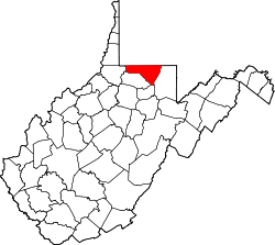
 Bula Location within the state of West Virginia  Bula Bula (the United States) | |
| Coordinates: 39°42′11″N80°15′26″W / 39.70306°N 80.25722°W | |
| Country | |
| State | |
| County | |
| Elevation | 978 ft (298 m) |
| Time zone | UTC-5 (Eastern (EST)) |
| • Summer (DST) | UTC-4 (EDT) |
| GNIS ID | 1536682 [1] |
Bula was an unincorporated community in Monongalia County, West Virginia, United States. Its post office [2] no longer exists.