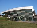
Cabramatta, also abbreviated as Cabra, is a suburb in South Western Sydney, in the state of New South Wales, Australia. Cabramatta is located 30 kilometres (19 mi) south-west of the Sydney central business district, in the local government area of the City of Fairfield.

Edensor Park is a suburb of Sydney, New South Wales, Australia. Edensor Park is located 38 kilometres west of the Sydney central business district in the local government area of the City of Fairfield. It is mainly a residential area, Edensor Park is part of the Greater Western Sydney region.
Fawkner is a suburb in Melbourne, Victoria, Australia, 12 km (7.5 mi) north of Melbourne's Central Business District, located within the Cities of Hume and Merri-bek local government areas. Fawkner recorded a population of 14,274 at the 2021 census.

The Division of Fowler is an Australian electoral division in the state of New South Wales.

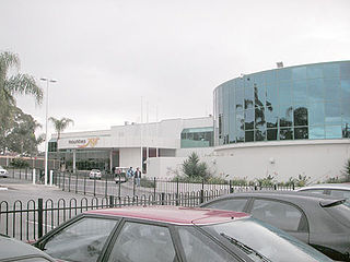
Fairfield is a suburb of Western Sydney, in the state of New South Wales, Australia. Being in the centre of the Cumberland Plain, Fairfield is located 30 kilometres (19 mi) west of the Sydney central business district and is the administrative heart of the Fairfield City Council – despite a very small portion of it belonging to the Cumberland Council. Fairfield supports a mixture of commercial and residential developments, mostly characterised by medium-density buildings and some new high-rise apartments.

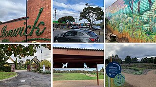
The Fairfield City Council is a local government area in the west of Sydney, in the state of New South Wales, Australia. The council was first incorporated as the "Municipal District of Smithfield and Fairfield" on 8 December 1888, and the council's name was changed to the "Municipality of Fairfield" in 1920, before being proclaimed a city in 1979. The City of Fairfield comprises an area of 102 square kilometres (39 sq mi) and as of the 2021 census had a population of 208,475. The mayor of the City of Fairfield is Cr. Frank Carbone, the first popularly-elected independent mayor of Fairfield.
St Johns Park is a suburb of Sydney, in the state of New South Wales, Australia 35 kilometres west of the Sydney central business district, in the local government areas of the City of Fairfield. It is part of the Greater Western Sydney region.

Smithfield is a suburb of Sydney, in the state of New South Wales, Australia. Smithfield is located 31 kilometres (19 mi) west of the Sydney central business district, in the local government areas of the City of Fairfield and Cumberland Council. Located in the Greater Western Sydney region, the suburb is one of the largest in Fairfield City by area.
Rossmore is a suburb of Sydney, in the state of New South Wales, Australia.

Lansvale is a suburb of Sydney, in the state of New South Wales, Australia 28 kilometres south-west of the Sydney central business district, the other side of Chipping Norton and its lake, in the local government areas of the City of Fairfield and is part of the South-western Sydney region.
Mount Pritchard is a suburb of Sydney, in the state of New South Wales, Australia 34 kilometres west of the Sydney central business district, in the local government areas of the City of Fairfield and the City of Liverpool, and is part of the South-western Sydney region.

Bonnyrigg is a suburb of Sydney, in the state of New South Wales, Australia 36 kilometres west of the Sydney central business district, in the local government area of the City of Fairfield. It is part of the Greater Western Sydney region.
Bonnyrigg Heights is a suburb of Sydney, in New South Wales, Australia. Its name originates from Bonnyrigg, Midlothian, Scotland. Bonnyrigg Heights is located on the traditional indigenous lands of the Dharug Nation.
Cabramatta West is a suburb of Sydney, in the state of New South Wales, Australia 32 kilometres south-west of the Sydney central business district, in the local government area of the City of Fairfield. It is part of the south-western region. Cabramatta is a separate suburb, to the east.

Canley Heights is a suburb of Sydney, in the state of New South Wales, Australia 31 kilometres west of the Sydney central business district, in the local government area of the City of Fairfield and is part of the South-western Sydney region.

Fairfield West is a suburb of Sydney, in the state of New South Wales, Australia. Fairfield West is located 27 kilometres west of the Sydney central business district in the local government area of the City of Fairfield. Fairfield West is part of the Greater Western Sydney region.
Fairfield Heights is a suburb of Sydney, in the state of New South Wales, Australia. Fairfield Heights is located 25 kilometres west of the Sydney central business district in the local government area of the City of Fairfield. Fairfield Heights is part of the Greater Western Sydney region.
Greenfield Park is a suburb of Sydney, in the state of New South Wales, Australia. Greenfield Park is located 36 kilometres west of the Sydney central business district in the local government area of the City of Fairfield. The suburb has one of the highest proportions of Assyrian people in the Sydney area and Australia per se.
Canley Vale High School is a government-funded co-educational comprehensive secondary day school, located in Canley Vale, a south-western suburb of Sydney, New South Wales, Australia.
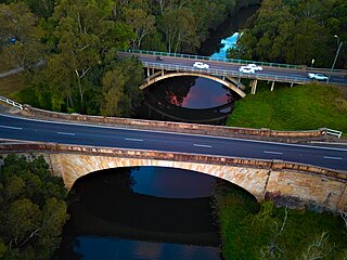
The Lennox River is the proposed name for a waterway located in Sydney's South-Western Suburbs. The existing waterway is the tidal reach of Prospect Creek, a tributary of the Georges River. A proposal has been made to upgrade and reclassify the waterway as a 'river'. The proposed river would be 6.5 kilometres (4 mi) long, starting at the confluence of Orphan School Creek and Prospect Creek at Fairfield and flowing to the Georges River emptying into Dhurawal Bay at Garrison Point.