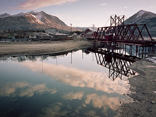
Carcross Airport | |||||||||||
|---|---|---|---|---|---|---|---|---|---|---|---|
| Summary | |||||||||||
| Airport type | Public | ||||||||||
| Operator | Government of Yukon | ||||||||||
| Location | Carcross, Yukon | ||||||||||
| Time zone | MST (UTC−07:00) | ||||||||||
| Elevation AMSL | 2,161 ft / 659 m | ||||||||||
| Coordinates | 60°10′27″N134°41′52″W / 60.17417°N 134.69778°W | ||||||||||
| Map | |||||||||||
| Runways | |||||||||||
| |||||||||||
Source: Canada Flight Supplement [1] | |||||||||||
Carcross Airport( TC LID : CFA4) is adjacent to Carcross, Yukon, Canada on the shore of Grayling Bay on Tagish Lake.

