Carcross Water Aerodrome | |||||||||||
|---|---|---|---|---|---|---|---|---|---|---|---|
| Summary | |||||||||||
| Airport type | Public | ||||||||||
| Operator | J.E. Lishman | ||||||||||
| Location | Carcross, Yukon | ||||||||||
| Time zone | MST (UTC−07:00) | ||||||||||
| Elevation AMSL | 2,152 ft / 656 m | ||||||||||
| Coordinates | 60°11′N134°42′W / 60.183°N 134.700°W Coordinates: 60°11′N134°42′W / 60.183°N 134.700°W | ||||||||||
| Map | |||||||||||
 CEB7 Location in Yukon | |||||||||||
| Runways | |||||||||||
| |||||||||||
Source: Water Aerodrome Supplement [1] | |||||||||||
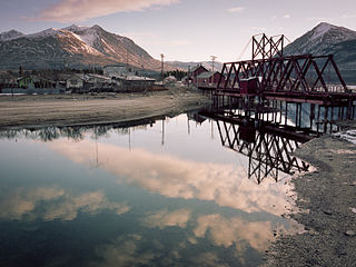
Carcross Water Aerodrome( TC LID : CEB7) is adjacent to Carcross, Yukon, Canada on the shore of Grayling Bay on Tagish Lake. It's open from June to October and the area may be used by ski planes in the winter.