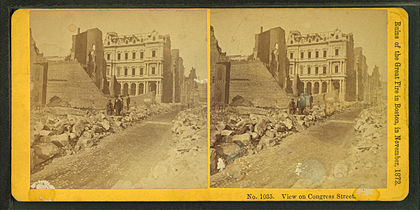
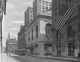
Congress Street from Dock Square, Boston, 2010 | |
| West end | Sudbury Street / Merrimac Street |
|---|---|
| Major junctions | State Street Milk Street Franklin Street Dorchester Avenue |
| East end | Northern Avenue |
Congress Street in Boston, Massachusetts, is located in the Financial District and South Boston.