Hazeldale | |
|---|---|
 Location of former store in Hazeldale, 2010 | |
 Hazeldale Location within Washington County, Oregon | |
| Coordinates: 45°27′59″N122°53′35″W / 45.46639°N 122.89306°W | |
| Country | United States |
| State | Oregon |
| County | Washington |
| Elevation | 253 ft (77 m) |
| Time zone | UTC-8 (Pacific (PST)) |
| • Summer (DST) | UTC-7 (PDT) |
| GNIS feature ID | 1136368 [1] |
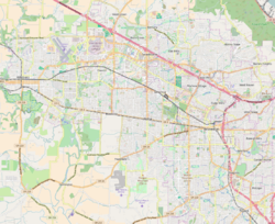
Hazeldale is an unincorporated community in Washington County, Oregon, United States. [1] It is located along Farmington Road south of Reedville and west of Aloha. [2]
