Hemja हेम्जा ward no 25 | |
|---|---|
subdivision of Pokhara | |
 Hemja Location in Nepal  Hemja Hemja (Nepal) | |
| Coordinates: 28°17′N83°55′E / 28.28°N 83.92°E | |
| Country | |
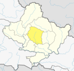
| Province | Gandaki Province |
| District | Kaski District |
| Population (2011) | |
• Total | 12,262 |
| Time zone | UTC+5:45 (Nepal Time) |
Hemja is a former Village Development Committee in the north of Pokhara in Kaski District in the Gandaki Province of northern-central Nepal. In 2014, Hemja was annexed to Pokhara City as ward number 27. Hemja is now an administrative part of Pokhara Municipality ward #25. At the 2011 Nepal census, it had a population of 12,262 persons in 3,019 households.