Henrytown | |
|---|---|
 | |
 Henrytown  Henrytown | |
| Coordinates: 43°35′40″N91°55′46″W / 43.59444°N 91.92944°W | |
| Country | United States |
| State | Minnesota |
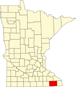
| County | Fillmore |
| Elevation | 1,106 ft (337 m) |
| Time zone | UTC-6 (Central (CST)) |
| • Summer (DST) | UTC-5 (CDT) |
| Area code | 507 |
| GNIS feature ID | 644893 [1] |
Henrytown is an unincorporated community in Fillmore County, in the U.S. state of Minnesota. [1]