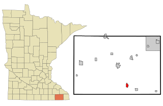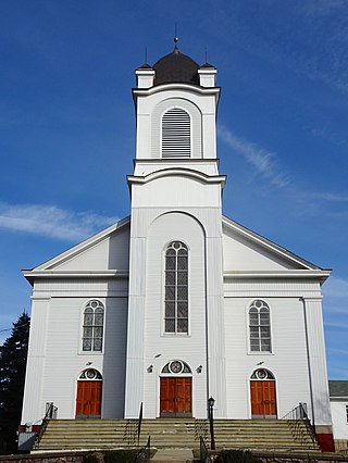
Fillmore County is a county in the U.S. state of Minnesota. As of the 2020 census, the population was 21,228. Its county seat is Preston. Fillmore County is included in the Rochester metropolitan area.
Fillmore Township is a civil township of Allegan County in the U.S. state of Michigan. The population was 2,778 at the 2020 census. It was established in 1849 by a division of Manlius Township.

Harmony is a city in Fillmore County, Minnesota, United States. The population was 1,020 at the 2010 census. The town bills itself as the "Biggest Little Town in Southern Minnesota" and features the largest Amish community in the state.

Preston is a city in Fillmore County, Minnesota, United States. The population was 1,325 at the 2010 census. It is the county seat of Fillmore County. The Root River runs through it, and Mystery Cave State Park is nearby. It bills itself as "America's Trout Capital," with a 20-foot trout placed along Minnesota State Highway 16.
Cedar Valley Township is a township in Saint Louis County, Minnesota, United States. Cedar Valley Township was named for the white cedar in the valley of the Floodwood River. The population was 195 at the 2010 census.
Linden Grove Township is a township in Saint Louis County, Minnesota, United States. The population was 145 at the 2010 census.
Willow Valley Township is a township in Saint Louis County, Minnesota, United States. The population was 126 at the 2010 census.
Bowstring is an unincorporated community in Bowstring Township, Itasca County, Minnesota, United States.

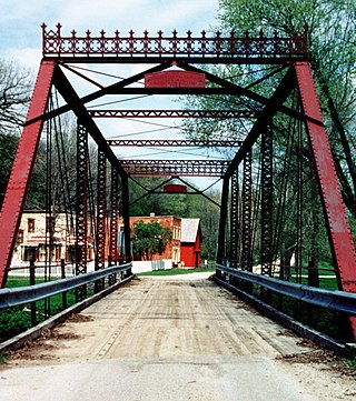
Forestville is a ghost town in section 13 of Forestville Township in Fillmore County, Minnesota, United States. The nearest communities are Wykoff, to the northwest, and Preston, to the northeast.
Cherry Grove is an unincorporated community in Fillmore County, Minnesota, United States.

Esko is an unincorporated community and census-designated place (CDP) in Thomson Township, Carlton County, Minnesota, United States. As of the 2020 census, its population was 2,082.
Cherry is an unincorporated community in Cherry Township, Saint Louis County, Minnesota, United States.
Etna is an unincorporated community in Bloomfield Township, Fillmore County, Minnesota, United States. Etna is located within ZIP code 55975 based in Spring Valley.

Readington Village is an unincorporated community located within Readington Township in Hunterdon County, in the U.S. state of New Jersey, that is centered on the converging of Readington Road, Hillcrest Road, Centerville Road and Brookview Road. It is located on Holland Brook, originally named Amanmechunk, which means large creek in the Unami dialect. The area was inhabited by the Raritan prior to the arrival of European settlers. The Native Americans who lived near Readington Village travelled to the coast during the summer for fish and clams. Such a trip is mentioned in an Indian deed transferring lands around Holland Brook to George Willocks, an East and West New Jersey Proprietor. The deed mentions two of the natives, who lived at Readington: Metamisco and Wataminian.
Wahlsten is an unincorporated community in Kugler Township, Saint Louis County, Minnesota, United States.

Veseli is an unincorporated community in Wheatland Township, Rice County, Minnesota, United States. The community was incorporated in 1889. It was named after Veselí nad Lužnicí, in the Czech Republic, a city whence its early settlers came. Veseli was one of the four largest communities in Minnesota originally settled by Czech immigrants.

Finesville is an unincorporated community and census-designated place (CDP) located within Pohatcong Township in Warren County, in the U.S. state of New Jersey. The CDP was defined as part of the 2010 United States Census. As of the 2010 Census, the CDP's population was 175.

Jacobs Prairie is an unincorporated community in Wakefield Township, Stearns County, Minnesota, United States. The community is located along Stearns County Road 2 at Glacier Road near Cold Spring and Rockville.

Larisons Corners, also spelled Larison's Corners, is an unincorporated community located along the border of East Amwell and Raritan townships in Hunterdon County, New Jersey, United States.

Bevans, also known as Peters Valley, is an unincorporated community located at the intersection of Bevans Road, Walpack Road, and Kuhn Road in Sandyston Township of Sussex County, New Jersey. The village is now part of the Delaware Water Gap National Recreation Area. Both the Delaware River and the Old Mine Road are nearby.


