Hilliard | |
|---|---|
| Township of Hilliard | |
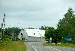 Hilliardton | |
 Hilliard | |
| Coordinates: 47°43′30″N79°42′00″W / 47.72500°N 79.70000°W | |
| Country | Canada |
| Province | Ontario |
| District | Timiskaming |
| Incorporated | 1910 |
| Government | |
| • Type | Township |
| • Reeve | Laurie Bolesworth |
| • Fed. riding | Nipissing—Timiskaming |
| • Prov. riding | Timiskaming—Cochrane |
| Area | |
| • Land | 91.27 km2 (35.24 sq mi) |
| Population (2021) [1] | |
• Total | 215 |
| • Density | 2.4/km2 (6.2/sq mi) |
| Time zone | UTC-5 (EST) |
| • Summer (DST) | UTC-4 (EDT) |
| Postal Code | P0J 1S0 |
| Area codes | 705, 249 |
| Website | townshipofhilliard |
Hilliard is a township in the Canadian province of Ontario, located within the Timiskaming District. Its main community is Hilliardton, located along Secondary Highway 569. The smaller communities of Couttsville and Whitewood Grove are also located within the township.
Contents
The township, named in honour of Daniel Hilliard, member of the Legislative Assembly of Ontario from 1886 to 1888, [2] was incorporated in 1910. Its primary economic activity is agriculture. [3]
