Kohatk, Arizona

Last updated

Kohatk, Arizona
O'odham: Kohadk
CDP
Pinal County Arizona Incorporated and Unincorporated areas Kohatk Highlighted 0438530.svg
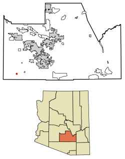
Location of Kohatk in Pinal County, Arizona.
Usa edcp location map.svg
Red pog.svg
Kohatk, Arizona
Location in the United States
Coordinates: 32°34′42″N112°00′11″W / 32.57833°N 112.00306°W / 32.57833; -112.00306
Country United States
State Arizona
County Pinal
Area
[1]
  Total
0.10 sq mi (0.25 km2)
  Land0.10 sq mi (0.25 km2)
  Water0.00 sq mi (0.00 km2)
Population
 (2020)
  Total
37
  Density377.55/sq mi (145.64/km2)
Time zone UTC-7 (MST (no DST))
FIPS code 04-38530

Kohatk (O'odham: Kohadk name translates as "Hollow") is a census-designated place (CDP) in Pinal County, Arizona, United States, located in the northern part Tohono O'odham Nation reservation. [2] The population was 31 as of the 2020 census.

Contents

Demographics

Historical population
CensusPop.Note
2020 37
U.S. Decennial Census [3]

As of the census [4] of 2020, there were 31 people, 8 households, 6 families living in the CDP. The population density was 316 people per square mile. The racial makeup of the CDP was 93% Native American and 7% from two or more races. 7% of the population were Hispanic or Latino of any race. [5]

Education

It is within the Stanfield Elementary School District and the Casa Grande Union High School District. [6]

Notes

  1. "2020 U.S. Gazetteer Files". United States Census Bureau. Retrieved October 29, 2021.
  2. Bright, William (2013). Native American Placenames of the United States. University of Oklahoma Press. p. 7. ISBN   978-0-8061-2444-5.
  3. "Census of Population and Housing". Census.gov. Retrieved June 4, 2016.
  4. "American FactFinder". Archived from the original on July 21, 2011. Retrieved May 14, 2012.
  5. "Kohatk, AZ Profile: Facts & Data". Arizona.hometownlocator.com. 2021. Retrieved September 5, 2021.
  6. "2020 CENSUS - SCHOOL DISTRICT REFERENCE MAP: Pinal County, AZ" (PDF). U.S. Census Bureau . Retrieved November 7, 2024. - Text list