| Lac St. Cyr | |
|---|---|
 Lac St. Cyr | |
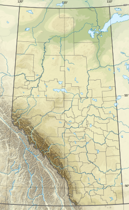
| Location | County of St. Paul No. 19, Alberta |
| Coordinates | 53°53′46″N111°11′35″W / 53.896°N 111.193°W |
| Basin countries | Canada |
| Max. length | 2.3 km (1.4 mi) |
| Max. width | 1.8 km (1.1 mi) |
| Surface area | 2.46 km2 (0.95 sq mi) |
| Average depth | 5.1 m (17 ft) |
| Max. depth | 21 m (69 ft) |
| Surface elevation | 648 m (2,126 ft) |
| References | [1] |
Lac St. Cyr is a lake in the County of St. Paul No. 19, Alberta. The lake is near the town of St. Paul and since 1951 has been used as a source of water. In 1978, seasonal pumping of water from the North Saskatchewan River into the lake was begun to address a fall in the water level. [2]
