Lanouaille | |
|---|---|
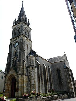 The church in Lanouaille | |
 Coat of arms | |
Location of Lanouaille  | |
 Lanouaille  Lanouaille | |
| Coordinates: 45°23′34″N1°08′20″E / 45.3928°N 1.1389°E | |
| Country | France |
| Region | Nouvelle-Aquitaine |
| Department | Dordogne |
| Arrondissement | Nontron |
| Canton | Isle-Loue-Auvézère |
| Intercommunality | Isle-Loue-Auvézère en Périgord |
| Government | |
| • Mayor (2020–2026) | Jean-Christophe Boulanger [1] |
Area 1 | 23.78 km2 (9.18 sq mi) |
| Population (2022) [2] | 938 |
| • Density | 39/km2 (100/sq mi) |
| Time zone | UTC+01:00 (CET) |
| • Summer (DST) | UTC+02:00 (CEST) |
| INSEE/Postal code | 24227 /24270 |
| Elevation | 198–234 m (650–768 ft) (avg. 300 m or 980 ft) |
| 1 French Land Register data, which excludes lakes, ponds, glaciers > 1 km2 (0.386 sq mi or 247 acres) and river estuaries. | |
Lanouaille (French pronunciation: [lanwaj] ; Limousin: La Noalha) is a commune in the Dordogne department in Nouvelle-Aquitaine in southwestern France. The departmental road D704 (Sarlat-Limoges) passes through the town.