Larson, North Dakota | |
|---|---|
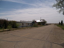 Businesses in Larson | |
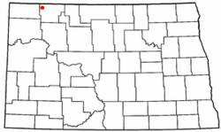 Location of Larson, North Dakota | |
| Coordinates: 48°53′28″N102°51′58″W / 48.89111°N 102.86611°W | |
| Country | |
| State | |
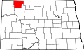
| County | Burke |
| Township | Keller |
| Founded | 1907 |
| Dissolved | 2003 |
| Named after | Columbus Larson |
| Area | |
• Total | 0.41 sq mi (1.06 km2) |
| • Land | 0.41 sq mi (1.06 km2) |
| • Water | 0.00 sq mi (0.00 km2) |
| Elevation | 1,926 ft (587 m) |
| Population (2020) | |
• Total | 9 |
| • Density | 22.00/sq mi (8.50/km2) |
| Time zone | UTC-6 (Central (CST)) |
| • Summer (DST) | UTC-5 (CDT) |
| ZIP code | 58727 |
| Area code | 701 |
| FIPS code | 38-45220 [3] |
| GNIS feature ID | 1036121 [2] |
Larson is a former city and current census-designated place in Burke County, North Dakota, United States. The population was 9 at the 2020 census.
Contents
Larson was founded in 1907. Both this town and nearby Columbus were named for Columbus Larson, an early postmaster who served the area. [4]
The city government of Larson was dissolved in 2003. [5] Even though it is now an unincorporated community, it was declared a census-designated place as part of the U.S. Census Bureau's Participant Statistical Areas Program on March 31, 2010. [2] As a result, it was included in the 2010 census. [6]