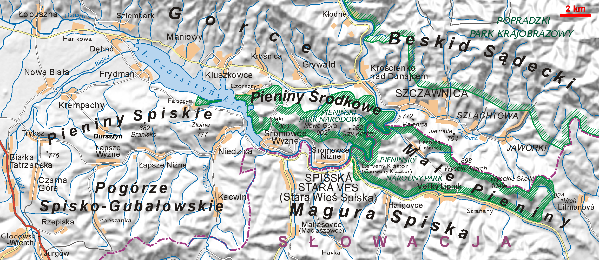
Two major mountain ranges populate Poland's south-east and south-west borders, respectively: the Sudetes and Carpathian Mountains mountain ranges. Those ranges are located both within and outside of Poland. Within Poland, neither of them is forbidding enough to prevent substantial habitation; the Carpathians are especially densely populated. The rugged form of the Sudeten range derives from the geological shifts that formed the later Carpathian uplift. The Carpathians in Poland, formed as a discrete topographical unit in the relatively recent Tertiary Era, are the highest mountains in the country. They are the northernmost edge of a much larger range that extends into the Czech Republic, Slovakia, Ukraine, Hungary, and Romania.
The Świętokrzyskie Mountains, one of the oldest mountain ranges in Europe, are located in central Poland, in the vicinity of the city of Kielce. The mountain range consists of a number of separate ranges, the highest of which is Łysogóry (lit. bald mountains). Together with the Jura Krakowsko-Częstochowska the mountains form a region called the Lesser Poland Upland (Wyżyna Małopolska). They were formed during the Caledonian orogeny of the Silurian period and then rejuvenated in the Hercynian orogeny of the Upper Carboniferous period.
Name | Elevation (m/ft) | Mountain Range | |
---|---|---|---|
Rysy [1] | 2,499 | 8,199 | High Tatras |
Cubryna | 2,376 | 7,795 | High Tatras |
Hińczowa Turnia | 2,372 | 7,782 | High Tatras |
Cubryńska Strażnica | 2,332 | 7,651 | High Tatras |
Kozi Wierch | 2,291 | 7,516 | High Tatras |
Kozie Czuby | 2,264 | 7,428 | High Tatras |
Starorobociański Wierch | 2,176 | 7,139 | Western Tatras |
Błyszcz | 2,159 | 7,083 | Western Tatras |
Kazalnica Mięguszowiecka | 2,159 | 7,083 | High Tatras |
Kościelec | 2,155 | 7,070 | High Tatras |
Dziurawa Czuba | 2,155 | 7,070 | High Tatras |
Jarząbczy Wierch | 2,137 | 7,011 | Western Tatras |
Kopa nad Krzyżnem | 2,130 | 6,990 | High Tatras |
Kamienista | 2,127 | 6,978 | Western Tatras |
Buczynowe Czuby | 2,125 | 6,972 | High Tatras |
Krzesanica | 2,122 | 6,962 | Western Tatras |
Kołowa Czuba | 2,105 | 6,906 | High Tatras |
Ciemniak | 2,096 | 6,877 | Western Tatras |
Głaźna Czuba | 2,095 | 6,873 | High Tatras |
Kopa nad Wrotami | 2,075 | 6,808 | High Tatras |
Gładki Wierch | 2,065 | 6,775 | High Tatras |
Bula pod Rysami | 2,054 | 6,739 | High Tatras |
Kopa Prawdy | 2,027 | 6,650 | Western Tatras |
Beskid | 2,012 | 6,601 | Western Tatras |
Kopa Kondracka | 2,005 | 6,578 | Western Tatras |
Kończysty Wierch | 2,002 | 6,568 | Western Tatras |
Kasprowy Wierch | 1,987 | 6,519 | Western Tatras |
Goryczkowa Czuba | 1,912 | 6,273 | Western Tatras |
Czuba nad Karbem | 1,896 | 6,220 | High Tatras |
Czubik | 1,845 | 6,053 | Western Tatras |
Kobylarzowa Kopka | 1,843 | 6,047 | Western Tatras |
Kotłowa Czuba | 1,840 | 6,040 | Western Tatras |
Kominiarski Wierch | 1,829 | 6,001 | Western Tatras |
Kondracka Kopka | 1,770 | 5,810 | Western Tatras |
Czerwony Wierch Chochołowski | 1,766 | 5,794 | Western Tatras |
Kopa Magury | 1,704 | 5,591 | Western Tatras |
Bobrowiec | 1,665 | 5,463 | Western Tatras |
Grześ | 1,653 | 5,423 | Western Tatras |
Czuba nad Uboczą | 1,630 | 5,350 | High Tatras |
Jaworzyńska Czuba | 1,625 | 5,331 | Western Tatras |
Kalacka Kopa | 1,601 | 5,253 | Western Tatras |
Kruźlik | 1,600 | 5,200 | Western Tatras |
Jaferowa Kopa | 1,598 | 5,243 | Western Tatras |
Jamborowy Wierch | 1,565 | 5,135 | Western Tatras |
Gubalec | 1,550 | 5,090 | Western Tatras |
Czarny Zwornik | 1,530 | 5,020 | Western Tatras |
Czoło | 1,514 | 4,967 | Western Tatras |
Hrubas | 1,499 | 4,918 | Western Tatras |
Furkaska | 1,491 | 4,892 | Western Tatras |
Gęsia Szyja | 1,489 | 4,885 | High Tatras |
Krokiew | 1,378 | 4,521 | Western Tatras |
Hruby Regiel | 1,339 | 4,393 | Western Tatras |
Biała Czubka | 1,333 | 4,373 | Western Tatras |
Kotlinowy Wierch | 1,305 | 4,281 | Western Tatras |
Klinowa Czuba | 1,276 | 4,186 | Western Tatras |
Jaworzyński Przysłop | 1,269 | 4,163 | Western Tatras |
Kryta Czuba | 1,246 | 4,088 | Western Tatras |
Diabliniec | 1,240 | 4,070 | Western Tatras |
Boczań | 1,224 | 4,016 | Western Tatras |
Filipczański Wierch | 1,223 | 4,012 | High Tatras |
Igła | 1,207 | 3,960 | Western Tatras |
Goły Wierch Rusinowy | 1,206 | 3,957 | High Tatras |
Koryciańska Czuba | 1,161 | 3,809 | Western Tatras |
Cisowa Turnia | 1,112 | 3,648 | Western Tatras |
Jamska Czuba | 1,108 | 3,635 | Western Tatras |
Kopa nad Białym | 1,034 | 3,392 | Western Tatras |
The Sudetes, also known as the Sudeten Mountains or Sudetic Mountains, is a geomorphological subprovince of the Bohemian Massif province in Central Europe, shared by the Czech Republic, Poland and Germany. They consist mainly of mountain ranges and are the highest part of Bohemian Massif. They stretch from the Saxon capital of Dresden in the northwest across to the region of Lower Silesia in Poland and to the Moravian Gate in the Czech Republic in the east. Geographically the Sudetes are a Mittelgebirge with some characteristics typical of high mountains. Its plateaus and subtle summit relief makes the Sudetes more akin to mountains of Northern Europe than to the Alps.
The Carpathian Mountains or Carpathians are a range of mountains forming an arc across Central Europe and Southeast Europe. Roughly 1,500 km (930 mi) long, it is the third-longest European mountain range after the Urals at 2,500 km (1,600 mi) and the Scandinavian Mountains at 1,700 km (1,100 mi). The range stretches from the eastern edge of the Czech Republic (3%) and Austria (1%) in the northwest through Slovakia (21%), Poland (10%), Ukraine (10%), Romania (50%) to Serbia (5%) in the south. The highest range within the Carpathians is known as the Tatra Mountains in Poland and Slovakia, where the highest peaks exceed 2,600 m (8,500 ft). The second-highest range is the Southern Carpathians in Romania, where the highest peaks range between 2,500 m (8,200 ft) and 2,550 m (8,370 ft).
The Tatra Mountains, Tatras, are a series of mountains within the Western Carpathians that form a natural border between Slovakia and Poland. They are the highest mountains in the Carpathians. The Tatras are distinct from the Low Tatras, a separate Slovak mountain range further south.
Poland is a part of the global tourism market with constantly increasing number of visitors. Tourism in Poland contributes to the country's overall economy. The most popular cities are Kraków, Warsaw, Wrocław, Gdańsk, Poznań, Szczecin, Lublin, Toruń, Zakopane, the Salt Mine in Wieliczka and the historic site of Auschwitz – a German Nazi concentration camp in Oświęcim. The best recreational destinations include Poland's Masurian Lake District, Baltic Sea coast, Tatra Mountains, Sudetes and Białowieża Forest. Poland's main tourist offers consist of sightseeing within cities, historical monuments, natural monuments, business trips, agrotourism, bicycle touring, qualified tourism, mountain hiking (trekking) and climbing among others.
The Alpine orogeny or Alpide orogeny is an orogenic phase in the Late Mesozoic (Eoalpine) and the current Cenozoic that has formed the mountain ranges of the Alpide belt.
The Świętokrzyskie Mountains, often anglicized to Holy Cross Mountains, are a mountain range in central Poland, near the city of Kielce.
The Lusatian Mountains are a mountain range of the Western Sudetes on the southeastern border of Germany with the Czech Republic. They are a continuation of the Ore Mountains range west of the Elbe valley. The mountains of the northern, German, part are called the Zittau Mountains.
Jizera Mountains, or Izera Mountains, are part of the Western Sudetes on the border between the Czech Republic and Poland. The range got its name from the Jizera River, which rises at the southern base of the Smrk massif. The beech forests within the Jizera Mountains were added to the UNESCO World Heritage Site known as Ancient and Primeval Beech Forests of the Carpathians and Other Regions of Europe, because of their outstanding preservation and testimony to the ecological history of Europe since the Last Glacial Period.
The Western Carpathians are a mountain range and geomorphological province that forms the western part of the Carpathian Mountains.
The Central Sudetes are the central part of the Sudetes mountain range on the border of the Czech Republic and Poland. They stretch from the Nysa Kłodzka River and the Kłodzko Valley in the east to the upper Bóbr in the west.
The Western Sudetes are a geomorphological macroregion, the western part of the Sudetes subprovince on the borders of the Czech Republic, Poland and Germany.
The Králický Sněžník Mountains or Śnieżnik Mountains is a massif and mountain range in the Eastern Sudetes on the border of the Czech Republic and Poland.
The Moravian Gate is a geomorphological feature in the Moravian region of the Czech Republic and the Upper Silesia region in Poland. It is formed by the depression between the Carpathian Mountains in the east and the Sudetes in the west. The drainage divide between the upper Oder river and the Baltic Sea in the north and the Bečva River of the Danube basin runs through it.
The Fatra-Tatra Area or the Tatra-Fatra Belt of core mountains is a part of the Inner Western Carpathians, a subprovince of the Western Carpathians. Most of the area lies in Slovakia with small parts reaching into Austria and Poland. The highest summit of the whole Carpathians, the Gerlachovský štít at 2,655 m (8,711 ft), lies in the High Tatras range which belongs to this area.
Lesser Poland Upland (Polish: Wyżyna Małopolska is an upland located in southern part of Poland, in the historic region of Lesser Poland. It extends from the valley of the upper Vistula, between Kraków and Sandomierz, to Opoczno and Radomsko in the northwest. Average height is between 200 and 400 meters above sea level, with the highest peak being the Łysica in the Holy Cross Mountains. Major cities of the region are Kielce, Ostrowiec Świętokrzyski and, Skarżysko-Kamienna.
The Bohemian Massif is a geomorphological province in Central Europe. It is a large massif stretching over most of the Czech Republic, eastern Germany, southern Poland and northern Austria.
The Western Carpathians are an arc-shaped mountain range, the northern branch of the Alpine-Himalayan fold and thrust system called the Alpide belt, which evolved during the Alpine orogeny. In particular, their pre-Cenozoic evolution is very similar to that of the Eastern Alps, and they constitute a transition between the Eastern Alps and the Eastern Carpathians.
Poland is a country that extends across the North European Plain from the Sudetes and Carpathian Mountains in the south to the sandy beaches of the Baltic Sea in the north. Poland is the fifth-most populous country of the European Union and the ninth-largest country in Europe by area. The territory of Poland covers approximately 312,696 km2 (120,733 sq mi), of which 98.52% is land and 1.48% is water. The Polish coastline was estimated at 770 km (478 mi) in length. Poland's highest point is Rysy, at 2,500 m (8,202 ft).
Piotruś is a 727-metre (2,385 ft) tall mountain in the Beskid Dukielski range, Poland. Beskid Dukielski forms the middle of the Low Beskids in the Western Carpathian Mountains.
The Oderské vrchy is a mountain range in the Czech Republic. It is a geomorphological microregion, part of the Nízký Jeseník mountain range within the Eastern Sudetes. The highest peak is Fidlův kopec at a height of 680 metres (2,230 ft).