This article needs additional citations for verification .(January 2017) |
The following list enumerates and expands on notable sea stacks, including former sea stacks that no longer exist.
Contents
- Antarctica
- Asia
- Australia
- Europe
- Croatia
- Faroe Islands
- France
- Germany
- Greece
- Iceland
- Ireland
- Isle of Man
- Italy
- Portugal
- Russia
- Spain
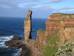
- United Kingdom
- North America
- Canada
- Caribbean
- Mexico
- United States
- Oceania
- Easter Island
- see also
- Footnotes
- References
