Related Research Articles

Andover is a city in Butler County, Kansas, United States, and a suburb of Wichita. As of the 2020 census, the population of the city was 14,892. Andover is the most populated city in Butler County.

Douglass is a city in Butler County, Kansas, United States. As of the 2020 census, the population of the city was 1,555.
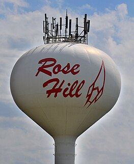
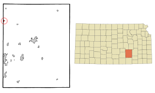
Rose Hill is a city in Butler County, Kansas, United States. As of the 2020 census, the population of the city was 4,185.
Whitewater is a city in Butler County, Kansas, United States. As of the 2020 census, the population of the city was 661.

LeRoy is a city in Coffey County, Kansas, United States. As of the 2010 census, the city population was 561.
Aetna is an unincorporated community in Barber County, Kansas, United States. It lies at an elevation of 1631 feet.

Rosalia is an unincorporated community in Butler County, Kansas, United States. As of the 2020 census, the population of the community and nearby areas was 149. It is located approximately 12 miles (19 km) east of El Dorado.

Brainerd is an unincorporated community in Butler County, Kansas, United States. It is located on the north side of K-196 highway between the cities of Whitewater and Potwin.
Furley is an unincorporated community in Sedgwick County, Kansas, United States. As of the 2020 census, the population of the community and nearby areas was 39. It is located northwest of the intersection of Greenwich Road and 101st Street N, along the Union Pacific Railroad.
Oil Hill, Kansas is a ghost town in Butler County, Kansas, United States.
Akron is an unincorporated community in Fairview Township, Cowley County, Kansas, United States. Akron is located at 37°21′06″N97°00′54″W.
Waterloo is an unincorporated community in Kingman County, Kansas, United States.
Sunnydale is an unincorporated community in Sedgwick County, Kansas, United States. It is located at Hillside St and 101st St N.

Cicero is an unincorporated community in Sumner County, Kansas, United States. It is located about 4 miles northeast of Wellington at about 2.5 miles east of the intersection of U.S. Route 81 and E 50th Ave N, next to the railroad.
Portland is an unincorporated community in Sumner County, Kansas, United States. It is located about 5 miles northeast of South Haven at 1.5 miles north of the intersection of S Hydraulic Rd and U.S. Route 166, next to an abandoned railroad. It is 1.5 miles east of I-35 at 37°04′40″N97°18′44″W.
Pontiac is an unincorporated community in Butler County, Kansas, United States.

Keighley is an unincorporated community in Butler County, Kansas, United States.
Midian is an unincorporated community in Butler County, Kansas, United States.
Wingate is a ghost town in Butler County, Kansas, United States. No buildings remain at this former community site.
Kellogg is an unincorporated community in Cowley County, Kansas, United States.
References
- ↑ "Lorena, Kansas", Geographic Names Information System , United States Geological Survey
- ↑ "Kansas Post Offices, 1828-1961, page 2". Kansas Historical Society. Archived from the original on October 9, 2013. Retrieved August 2, 2014.
