Richland Butler County, Kansas | |
|---|---|
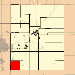 Location within Butler County | |
 Richland Township Location within Kansas | |
| Coordinates: 37°31′10″N097°05′56″W / 37.51944°N 97.09889°W | |
| Country | United States |
| State | Kansas |
| County | Butler |
| Area | |
• Total | 36.3 sq mi (94.03 km2) |
| • Land | 36.3 sq mi (94.01 km2) |
| • Water | 0.01 sq mi (0.02 km2) 0.02% |
| Elevation | 1,306 ft (398 m) |
| Population (2000) | |
• Total | 2,399 |
| • Density | 66/sq mi (26/km2) |
| Time zone | UTC-6 (CST) |
| • Summer (DST) | UTC-5 (CDT) |
| GNIS ID | 474367 |
| Website | County website |
Richland Township is a township in Butler County, Kansas, United States. As of the 2000 census, its population was 2,399.
