Rock Creek Butler County, Kansas | |
|---|---|
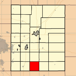 Location within Butler County | |
 Rock Creek Township Location within Kansas | |
| Coordinates: 37°31′30″N096°54′11″W / 37.52500°N 96.90306°W | |
| Country | United States |
| State | Kansas |
| County | Butler |
| Area | |
• Total | 36.12 sq mi (93.56 km2) |
| • Land | 36.12 sq mi (93.56 km2) |
| • Water | 0 sq mi (0 km2) 0% |
| Elevation | 1,322 ft (403 m) |
| Population (2000) | |
• Total | 299 |
| • Density | 8.3/sq mi (3.2/km2) |
| Time zone | UTC-6 (CST) |
| • Summer (DST) | UTC-5 (CDT) |
| GNIS ID | 470022 |
| Website | County website |
Rock Creek Township is a township in Butler County, Kansas, United States. As of the 2000 census, its population was 299.
