Clay Township Butler County, Kansas | |
|---|---|
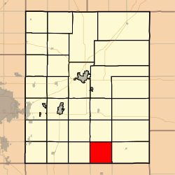 Location within Butler County | |
 Clay Township Location within Kansas | |
| Coordinates: 37°31′30″N096°46′51″W / 37.52500°N 96.78083°W [1] | |
| Country | United States |
| State | Kansas |
| County | Butler |
| Area | |
• Total | 36.43 sq mi (94.36 km2) |
| • Land | 36.35 sq mi (94.15 km2) |
| • Water | 0.081 sq mi (0.21 km2) 0.22% |
| Elevation | 1,335 ft (407 m) |
| Population (2000) | |
• Total | 83 |
| • Density | 2.3/sq mi (0.88/km2) |
| Time zone | UTC-6 (CST) |
| • Summer (DST) | UTC-5 (CDT) |
| FIPS code | 20-13575 [1] |
| GNIS ID | 470031 [1] |
| Website | County website |
Clay Township is a township in Butler County, Kansas, United States. [1] As of the 2000 census, its population was 83.
