
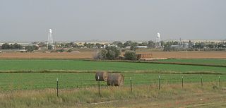
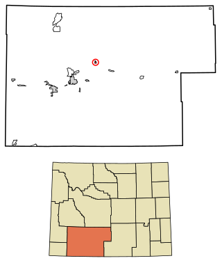
Platte County is a county located in the U.S. state of Wyoming. As of the 2020 United States Census, the population was 8,605. Its county seat is Wheatland.
Niobrara County is a county in the U.S. state of Wyoming. As of the 2020 United States Census, the population was 2,467, making it the least populous county in Wyoming. Its county seat is Lusk. Its eastern boundary abuts the west lines of the states of Nebraska and South Dakota.

Lyman is a town in York County, Maine, United States. The population was 4,525 at the 2020 census. It is part of the Portland–South Portland–Biddeford, Maine metropolitan statistical area. Lyman, together with Alfred, is home to Massabesic Experimental Forest.
Lyman is a village in Scotts Bluff County, Nebraska, United States. It is part of the Scottsbluff, Nebraska Micropolitan Statistical Area. The population was 341 at the 2010 census.

Genesee Falls is an incorporated town in Wyoming County, New York. The population was 438 at the 2010 census.

Washington Township is a township in Wyoming County, Pennsylvania, United States. The population was 1,337 at the 2020 census.

Lyman is a town in Skagit County, Washington, United States. The population was 423 at the 2020 census. It is included in the Mount Vernon-Anacortes, Washington Metropolitan Statistical Area.

The Town of Wyoming is a town located in Iowa County, Wisconsin, United States. The population was 317 at the 2020 census.

Manderson is a town in Big Horn County, Wyoming, United States. The population was 88 at the 2020 census. The town was originally called Alamo, but it was renamed in 1889 in honor of Charles F. Manderson, chief counsel for Burlington Railroad. The town is widely regarded as a speed trap for tourists heading to Yellowstone National Park.

Dixon is a town in Carbon County, Wyoming, United States. The population was 97 at the 2010 census.
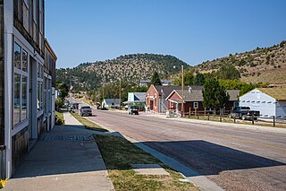
Hulett is a town in Crook County, Wyoming, United States. The population was 309 at the 2020 census.

Hudson is a town in Fremont County, Wyoming, United States. The population was 458 at the 2010 census.

Albin is a town in Laramie County, Wyoming, United States. It is part of the Cheyenne Metropolitan Statistical Area. The population was 169 at the 2020 census.

Bar Nunn is a town in Natrona County, Wyoming, United States. It is a part of the Casper, Wyoming Metropolitan Statistical Area. The population was 2,981 at the 2020 census, a jump of 35% from a population of 2,213 at the 2010 census. It was incorporated in 1980.

Edgerton is a town in Natrona County, Wyoming, United States. It is part of the Casper, Wyoming Metropolitan Statistical Area. The population was 195 at the 2010 census.

Mills is a town in Natrona County, Wyoming, United States. It is part of the Casper, Wyoming Metropolitan Statistical Area. The population was 4,034 at the 2020 census, up from 3,461 at the 2010 census.
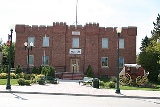
Hartville is a town in Platte County, Wyoming, United States. The population was 62 at the 2010 census.

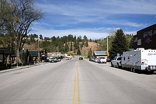
Dayton is a town in Sheridan County, Wyoming, United States. The population was 822 at the 2020 census.

James Town is a census-designated place (CDP) in Sweetwater County, Wyoming, United States. The population was 536 at the 2010 census.
Superior is a town in Sweetwater County, Wyoming, United States. The population was 336 at the 2010 census.


