Maplewood South–North, Houston

Last updated
Maplewood/South North street sign along the Brays Bayou MaplewoodSouthNorthHouston.JPG
Maplewood/South North street sign along the Brays Bayou

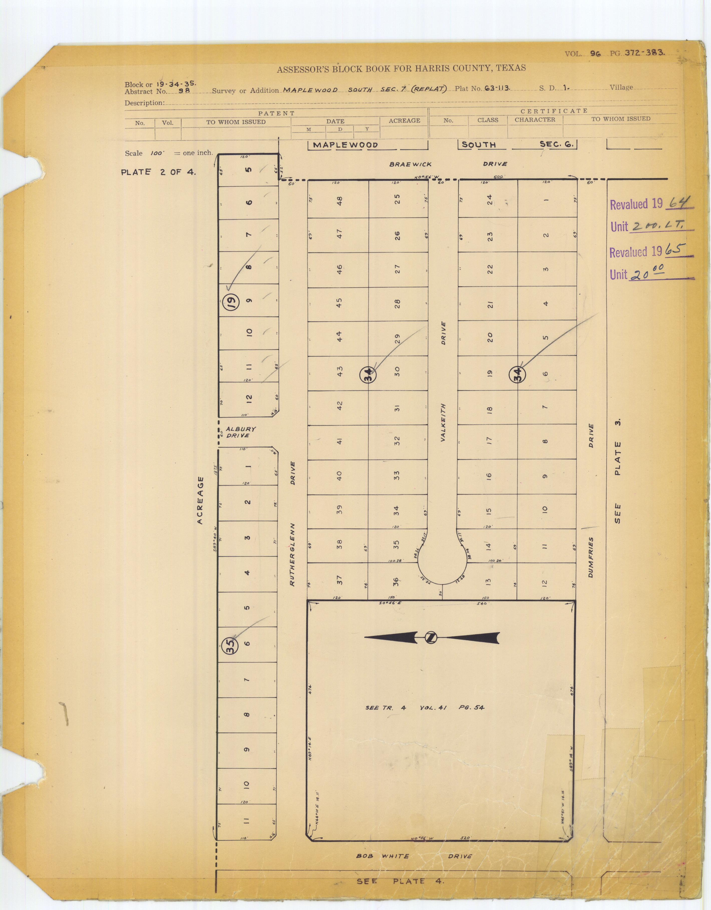
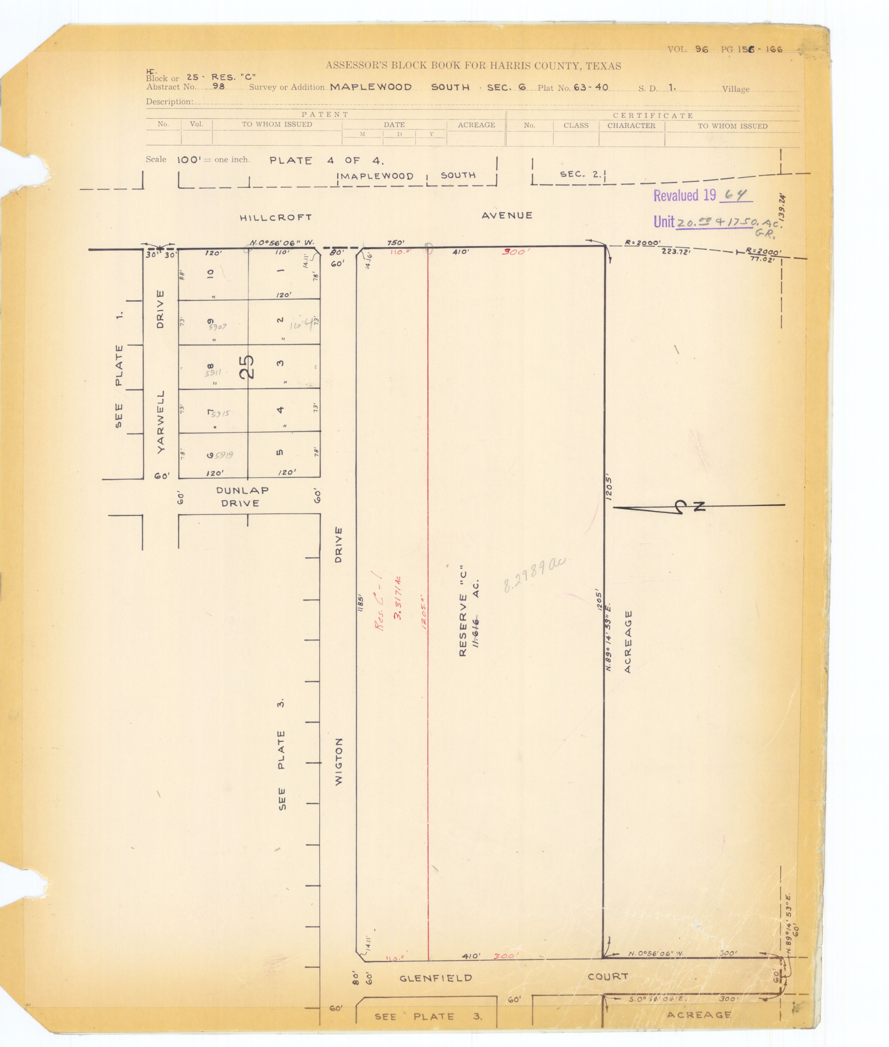
Maplewood South/North is a group of subdivisions in Houston, Texas.

Contents

It is southwest of Downtown Houston and south of Uptown Houston. [1]

In 2007 S.K. Bardwell of the Houston Chronicle said that Maplewood South "has one of the largest, most powerful civic associations in Houston, and its residents reap the benefits each year in increased property values." [2]

The community has The MapleLeaf, the community newsletter. [3]

History

A group of investors platted Maplewood South/North. [3] By Sunday May 2, 1965, Maplewood South was about 80% complete. At the time, all of the lots in the subdivision addition were owned by the builders. [4]

Composition

The homeowners association covers Maplewood South and Maplewood North.

Maplewood South is south of South Braeswood Boulevard and lies on both sides of Hillcroft Avenue. [2] Maplewood South is in proximity to U.S. Route 59 (Southwest Freeway), which connects the subdivision to Downtown Houston. Maplewood South is in proximity to Bellaire, Meyerland, and Sharpstown. [4]

When Maplewood South opened, houses were required to have at least 2,000 square feet (190 m2) of living area. The Houston Post stated in 1965 that houses required "designs that blend with an overall community scheme." [4]

Government and infrastructure

The neighborhood is within the Houston Police Department's Southwest Patrol Division .

Maplewood South/North is in Texas's 7th congressional district .

Harris Health System (formerly Harris County Hospital District) designated Valbona Health Center (formerly People's Health Center) for ZIP code 77096. The nearest public hospital is Ben Taub General Hospital in the Texas Medical Center. [5]

Education

Primary and secondary schools

Public schools

Maplewood South/North is zoned to Houston ISD schools. [6]

Maplewood North is zoned to Herod Elementary School, Fondren Middle School, and Bellaire High School.

Portions of Maplewood South west of Hillcroft (sections 6-8) are zoned to Horace W. Elrod Elementary School, Fondren Middle School, and Westbury High School. Portions of Maplewood South east of Hillcroft (sections 1-5) are zoned to either Parker or Herod Elementary Schools. All of Maplewood South east of Hillcroft is zoned to Meyerland Middle School (formerly Johnston Middle School), with Pin Oak Middle School as an option, and Westbury High School.

Elrod Elementary School is in Maplewood South Section 7. [7] [8]

Fondren Middle School, the Maplewood-area middle school, had a scheduled completion date in the northern hemisphere fall of 1965. [4] Fondren was built in 1966. [9]

Private schools

St. Thomas More Catholic School of the Roman Catholic Archdiocese of Galveston-Houston is located in Maplewood South Section 6. [10] [11] Many other private schools are in the area. [2] The Schlenker School, an early childhood through 5th grade private school affiliated with Congregation Beth Israel, is adjacent to Maplewood North. [12]

Also in the area is St. Vincent de Paul Catholic School, K-8. [13]

Parks and recreation

Ron Meek Park is a private park in Maplewood South. [2] Next to Ron Meek Park is the Lloyd Johnson Community Pool. Both the pool and the park are operated by the subdivision group. [14] The community has a swim team, the Maplewood Marlins. [2]

See also

Related Research Articles

Bellaire, Texas Enclave city in Texas, United States

Bellaire is a city in southwest Harris County, Texas, United States, within the Houston–Sugar Land–Baytown metropolitan area. As of the 2010 U.S. census, the city population was 16,855. In 2019, its estimated population increased to 18,971. It is surrounded by the cities of Houston and West University Place. Bellaire is known as the "City of Homes", owing to its mostly residential character; but it has offices along the I-610 Loop within the city limits.

Southside Place, Texas City in Texas, United States

Southside Place is a city in west central Harris County, Texas, United States. The population was 1,715 at the 2010 census.

Bellaire High School (Texas) Public secondary school in Bellaire, Texas, United States

Bellaire High School is a comprehensive, public secondary school in Bellaire, Texas. Part of the Houston Independent School District, it serves the incorporated city of Bellaire, the Houston community of Meyerland, and other adjacent Houston neighborhoods. It has a racially and socioeconomically diverse student body.

Sharpstown, Houston

Sharpstown is a master-planned community in the Southwest Management District, Southwest Houston, Texas It was one of the first communities to be built as a master-planned, automobile centered community and the first in Houston. Frank Sharp (1906–1993), the developer of the subdivision, made provisions not only for homes but also for schools, shopping and recreation areas. While this model has been duplicated countless times in the past fifty years, at the time it was quite revolutionary, attracting national media attention. The development was dedicated on March 13, 1955.

Westbury, Houston

Westbury is a neighborhood in the Brays Oaks district of Southwest Houston, Texas, United States. It is located east of Bob White Road, north of U.S. Highway 90 Alternate, and west of South Post Oak Road, adjacent to the Fondren Southwest and Meyerland neighborhoods, just west of the southwest corner of the 610 Loop.

Westbury High School (Houston) High school in Brays Oaks, Texas

Westbury High School is a secondary school located in the Brays Oaks, of Southwest Houston, Texas, near the Westbury neighborhood. It has grades 9 through 12, and is part of the Houston Independent School District. In 2019, Jerri Nixon succeeded Susan Monaghan as principal, who had retired.

Meyerland, Houston Community in Houston, Texas

Meyerland is a 6,000-acre (9 sq mi) community in southwest Houston, Texas, outside of the 610 Loop and inside Beltway 8. The neighborhood is named after the Meyer family, who bought and owned 6,000 acres (24 km²) of land in southwest Houston.

Willow Meadows, Houston

Willow Meadows is a subdivision in Houston, Texas, United States.

Willowbend, Houston

Willowbend is a neighborhood in Houston, Texas.

Maplewood, Houston

Maplewood is a community in Houston, Texas located outside the 610 Loop, southwest of Downtown Houston. It consists of 524 houses. They are one-story and two-story houses, as two stories is the limit allowed by the subdivision. The oldest houses were built in the early 1950s. Maplewood is located along Beechnut, Hillcroft, and Renwick.

Braeburn, Houston

Braeburn is a community of subdivisions in southwest Houston, Texas along Brays Bayou west of Hillcroft Avenue and south of the Sharpstown community. The first of these middle class subdivisions was developed after World War II at a time when the Richmond Farm-to-Market Road provided the route into the city, rather than U.S. Highway 59. Development continued into the 1970s. The Braeburn Country Club is located in the center of the community. Subdivisions found here include Robindell, Braeburn Terrace, Braeburn Glen, Larkwood, Braeburn Valley, Bonham Acres, Braes Timbers and—the acreage lot subdivision—Brae Acres. The area also includes commercial and multi-family developments. Braeburn is notable for its large number of mid-century modern homes, tree lined streets, and location close to the Galleria, the Texas Medical Center, Reliant Park, the major freeways- 59, 610 and the Beltway. The communities of Braeburn have in recent years formed the Braeburn Superneighborhood, a coalition of Home Owner Associations, in order to interact more effectively with the City of Houston and other area agencies. The Brays Bayou hike and bike trail runs through the community, providing easy access to over 15 miles of excellent trails.

Brays Oaks, Houston

Brays Oaks, formerly known as Fondren Southwest, is an area in Southwest Houston, Texas, United States. The Brays Oaks Management District, also known as the Harris County Improvement District #5, governs the Brays Oaks area as well as other surrounding areas, such as Westbury. The City of Houston also defines the Brays Oaks Super Neighborhood, with separate boundaries.

Southwest Management District District in Houston, Texas

Southwest Management District, formerly Greater Sharpstown Management District, is a district in Houston, Texas, United States. The district is split into 6 neighborhoods: Sharpstown, Chinatown, Mahatma Gandhi District/Little India, Westwood, Harwin, and University.

Hillcroft Avenue is an arterial road in western Houston, Texas, United States. The street spans 8 miles (13 km) and is between Beltway 8 and Westheimer Road. To the south Hillcroft has a wide boulevard, and many single family homes surround Hillcroft; some subdivisions use fences and shrubs as a barrier between Hillcroft and the houses. To the north Hillcroft is surrounded by strip centers and multifamily developments. Hillcroft runs through Brays Oaks, Gulfton, and the Mahatma Gandhi District.

Robindell is a subdivision in Southwest Houston, Texas.

Westwood (subdivision), Houston

Westwood is a residential subdivision in Southwest Houston, Texas. The subdivision is bounded by the 610 Loop, the Union Pacific railroad tracks, Stella Link Road, and Willowbend Boulevard. It has about 800 houses.

<i>Village News and Southwest News</i>

The Village News and Southwest News is a local newspaper in Greater Houston, headquartered in Bellaire, Texas.

Knollwood Village, Houston

Knollwood Village is a subdivision in Houston, Texas. It is managed by the Knollwood Village Civic Club (KVCC), which governs Knollwood Village sections 1-10 and Braes Terrace II.

References

  1. "Welcome to Maplewood South/North." Maplewood South/North. Retrieved on November 21, 2011.
  2. 1 2 3 4 5 Bardwell, S.K. "Civic goals pace Maplewood South." Houston Chronicle . Wednesday April 18, 2007. Retrieved on September 20, 2011.
  3. 1 2 "1960-69 ( IN THE BEGINNING, JUST AFTER DARK )." Maplewood South/North. Retrieved on November 21, 2011.
  4. 1 2 3 4 "Maplewood South Builders Sponsor Home Show." Houston Post . Sunday May 2, 1965. Section 9, Page 7. Available via microfilm from the Houston Public Library Jesse H. Jones Building.
  5. "Clinic/Emergency/Registration Center Directory By ZIP Code". Harris County Hospital District. 2001-11-19. Archived from the original on 2001-11-19. Retrieved 2021-04-08. - See ZIP code 77096. See this map for relevant ZIP code.
  6. "Combined Sections of Maplewood South-North". Maplewood South-North. Retrieved 2019-11-03. - PDF Map
  7. "Maplewood South Sec. 7 (Replat)" (JPG, PDF). Harris County Block Book Maps. Volume 96, Pages 372-383. Retrieved on August 8, 2017.
  8. Home. Elrod Elementary School. Retrieved on August 8, 2017. "6230 Dumfries Houston, TX 77096-4603"
  9. "School Histories: the Stories Behind the Names Archived 2011-07-10 at the Wayback Machine ." (Archive) Houston Independent School District. Retrieved on June 17, 2012.
  10. Maplewood South Sec. 6 Res "C" (JPG, PDF). Harris County Block Book Map. Volume 96, Page 166. Retrieved on August 8, 2017.
  11. Home. St. Thomas More Parish School. Retrieved on August 8, 2017. "5927 Wigton Drive, Houston, TX 77096"
  12. "Contact Us Archived 2012-04-25 at the Wayback Machine ." Maplewood South-North. Retrieved on November 21, 2011.
  13. "Home". St. Vincent de Paul Catholic School. 2001-07-22. Archived from the original on 2001-07-22. Conveniently situated in the Southwest part of Houston, St. Vincent de Paul School is near [...]Maplewood,[...]
  14. "Pool Facilities." Maplewood South/North. Retrieved on November 21, 2011.