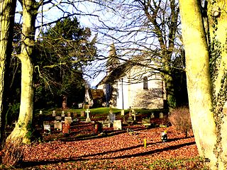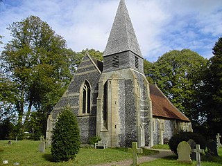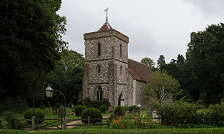
St Mary Bourne is a village and civil parish in the Basingstoke and Deane district of Hampshire, England. It lies on the valley of the Bourne Rivulet, a tributary of the River Test, 5 miles (8.0 km) northeast of Andover.

Turgis Green is a hamlet in the English county of Hampshire. It is split between the civil parishes of Hartley Wespall and Stratfield Turgis. It contains six Grade II listed buildings and a Grade II listed milestone.

North West Hampshire is a constituency represented in the House of Commons of the UK Parliament since 2015 by Conservative Kit Malthouse, who served as Education Secretary in 2022.

Litchfield is a village and former civil parish, now in the parish of Litchfield and Woodcott, in the Basingstoke and Deane district of Hampshire, England. It is closely bypassed by the A34 trunk road between Newbury and Whitchurch, which follows the course of the former Didcot, Newbury and Southampton Railway. Litchfield railway station, which closed in 1960, was on this line. The station is a private house, not owned by C.A.H Wills who owns Litchfield farms estate and lives in the village. The station was sold by Hampshire County Council in 1978 and has been restored. The approach road is now a private drive to the property. In 1976 the Litchfield - Whitchurch bypass was opened and made use of the DN&SR trackbed south of Litchfield towards Whitchurch for a distance of one mile. In 1931 the parish had a population of 88.

Ecchinswell is a village and former civil parish, now in the parish of Ecchinswell, Sydmonton and Bishops Green, in the Basingstoke and Deane district of Hampshire, England. In 1931 the parish had a population of 295.

Herriard is a village and civil parish in the Basingstoke and Deane district of Hampshire, England. Its nearest town is Basingstoke, which lies 4+1⁄2 miles (7.2 km) north. The village is situated mainly on the A339 road between Alton, and Basingstoke. At the 2001 census, it had a population of 247, increasing marginally to 251 at the 2011 Census. It was formerly served by the now-disused Herriard railway station on the Basingstoke and Alton Light Railway.

Bishops Green is a village in the English county of Hampshire, on the border with Berkshire.
Adbury is a village in Hampshire, United Kingdom. The settlement is within the civil parish of Burghclere, and is located approximately 2.5 miles (4.0 km) south-east of Newbury.
Aldern Bridge is a hamlet in Hampshire, United Kingdom. The settlement is within the civil parish of Burghclere, and is located approximately 2.3 miles (3.7 km) south-east of Newbury.

Ashley Warren is a hamlet in the Basingstoke and Deane district of Hampshire, England. The settlement is within the civil parish of Ecchinswell, Sydmonton and Bishops Green, and is located approximately 7.3 miles (11.7 km) south of Newbury.

Binley is a village in Hampshire, England. The village lies near the A34 road between Whitchurch and Stockbridge. Its nearest town is Whitchurch, which lies approximately 4.4 miles (7.1 km) south-east from the village.

Cole Henley is a hamlet in the Basingstoke and Deane district of Hampshire, England. Its nearest town is Whitchurch, which lies approximately 3.1 miles (5.0 km) south-east from the hamlet, just off the A34 road.
Lower Woodcott is a small village in the Basingstoke and Deane district of Hampshire, England. Its nearest town is Whitchurch, which lies approximately 4.3 miles (6.7 km) south-east from the village.

Lower Wyke is a hamlet in the Basingstoke and Deane district of Hampshire, England. It is in the civil parish of St. Mary Bourne. Its nearest town is Andover, which lies approximately 3.6 miles (5.8 km) south-east from the village.

Newfound is a hamlet in the Basingstoke and Deane district of Hampshire, England. Its nearest town is Basingstoke, which lies approximately 4.1 miles (6.6 km) east from the hamlet.

Newtown Common is a village in the Basingstoke and Deane district of Hampshire, England. Its nearest town is Newbury, which lies approximately 2.5 miles (4.1 km) north-east from the village.

North Oakley is a hamlet in the civil parish of Hannington in the Basingstoke and Deane district of Hampshire, England. Its nearest town is Tadley, which lies approximately 6.4 miles (10.3 km) north-east from the village.
North Sydmonton is a small village in the Basingstoke and Deane district of Hampshire, England. Its nearest town is Newbury, which lies approximately 4.3 miles (6.9 km) north-west from the village.
Brock's Green is a small village in the Basingstoke and Deane district of Hampshire, England. Its nearest town is Newbury, which lies approximately 4.7 miles (7.6 km) north-west from the village.
Stoke is a small village in northwest Hampshire. At the 2011 Census the population of the village was included in the civil parish of St Mary Bourne. It lies in the valley of the Bourne Rivulet, a tributary of the River Test 5 miles (8.0 km) northeast of the town of Andover.


