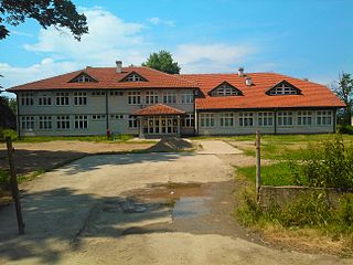
Murueta is a town and municipality located in the province of Biscay, in the autonomous community of Basque Country, northern Spain. According to the 2019 census, it has 308 inhabitants.

Labské Chrčice is a village in the Pardubice Region of the Czech Republic. It has around 140 inhabitants.

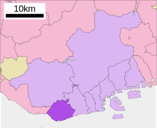
Tarumi is one of nine wards of Kobe City in Japan. It has an area of 26.89 km², and a population of 219,958 (2008).

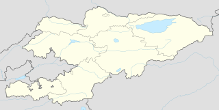
Khalmion is a village in Kadamjay District, Batken Region in south-west Kyrgyzstan, sitting practically on the border with Uzbekistan's Fergana Region. Its population was 4,602 in 2009. The village lies just to the west of a tiny enclave belonging to Uzbekistan, less than 1 km2 in area and known also as Khalmion, or alternately as Jani-Ayil or Jangy-ayyl. This enclave is located north-northwest of another Uzbek enclave (Shakhimardan). The Kyrgyz villages of Khalmion and Jani-Ayil lie outside opposite edges of this enclave, within 1 km of the Kyrgyz-Uzbek main border.

Qıraq Muşlan is a village in the Zangilan Rayon of Azerbaijan.

Pagórek is a village in the administrative district of Gmina Dębowiec, within Jasło County, Subcarpathian Voivodeship, in south-eastern Poland. It lies approximately 8 kilometres (5 mi) west of Dębowiec, 12 km (7 mi) south-west of Jasło, and 61 km (38 mi) south-west of the regional capital Rzeszów.
Nętne is a village in the administrative district of Gmina Stromiec, within Białobrzegi County, Masovian Voivodeship, in east-central Poland.
Dębówka is a village in the administrative district of Gmina Trojanów, within Garwolin County, Masovian Voivodeship, in east-central Poland.
Niesułowo-Pach is a village in the administrative district of Gmina Krasnosielc, within Maków County, Masovian Voivodeship, in east-central Poland.

Izabelin is a village in the administrative district of Gmina Jakubów, within Mińsk County, Masovian Voivodeship, in east-central Poland. It lies approximately 2 kilometres (1 mi) north of Jakubów, 10 km (6 mi) north-east of Mińsk Mazowiecki, and 47 km (29 mi) east of Warsaw.

Oleśnica is a village in the administrative district of Gmina Wodynie, within Siedlce County, Masovian Voivodeship, in east-central Poland. It lies approximately 2 kilometres (1 mi) east of Wodynie, 23 km (14 mi) south-west of Siedlce, and 71 km (44 mi) east of Warsaw.

Dretynek is a village in Gmina Miastko, Bytów County, Pomeranian Voivodeship, in northern Poland. It lies approximately 33 kilometres (21 mi) south-west of Bytów and 111 km (69 mi) south-west of Gdańsk.

Nowe Kusy is a village in the administrative district of Gmina Pasłęk, within Elbląg County, Warmian-Masurian Voivodeship, in northern Poland with a population of about 315. It lies approximately 6 kilometres (4 mi) west of Pasłęk, 13 km (8 mi) south-east of Elbląg, and 67 km (42 mi) north-west of the regional capital Olsztyn.

Choszczówko is a settlement in the administrative district of Gmina Dębno, within Myślibórz County, West Pomeranian Voivodeship, in north-western Poland.

Phú Thành is a rural commune (xã) and village of the Phú Tân District of An Giang Province, Vietnam.

Háje is a village and municipality in Příbram District in the Central Bohemian Region of the Czech Republic.

Bogojevce is a village in the municipality of Leskovac, Serbia. According to the 2002 census, the village has a population of 1571 people.

Lukavac (Trnovo) is a village in the municipality of Trnovo, Bosnia and Herzegovina.

Vučetići is a village in the municipality of Goražde, Bosnia and Herzegovina.

Velika Lukanja is a village in the municipality of Pirot, Serbia. According to the 2002 census, the village has a population of 17 people.


