The Yengo National Park is a protected national park that is located in the Lower Hunter region of New South Wales, in eastern Australia. The 154,328-hectare (381,350-acre) park is situated 213 kilometres (132 mi) northwest of Sydney, 40 kilometres (25 mi) south of Cessnock, 121 kilometres (75 mi) northwest of Gosford, and 91 kilometres (57 mi) southwest of Newcastle. The average elevation of the terrain is 309 metres.

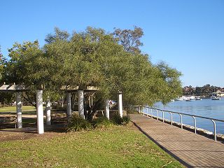
Lilyfield is a suburb in the Inner West of Sydney, in the state of New South Wales, Australia. Lilyfield is located 6 kilometres west of the Sydney central business district, in the local government area of the Inner West Council.

The City of Hawkesbury is a local government area of New South Wales, Australia, located on the northern and north-western fringe of the Greater Sydney area, about 50 kilometres (31 mi) north-west of the Sydney central business district. Hawkesbury City is named after the Hawkesbury River.

Mooney Mooney Creek is a suburb of the Central Coast region of New South Wales, Australia, located 60 kilometres (37 mi) north of Sydney along both sides of the river after which it is named. It is part of the Central Coast Council local government area.

Baerami is a locality in the Muswellbrook Shire in the Upper Hunter region of New South Wales, Australia.

Fitzroy Falls is a village in the Wingecarribee Shire, located within the Southern Highlands region of New South Wales, Australia. The locality was known as Yarrunga, but was renamed after the 81-metre (266 ft) waterfall.
Perrys Crossing is a locality of Sydney, in the state of New South Wales, Australia. It is located in the City of Hawkesbury north of St Albans. It lies across Mogo Creek, a tributary of the Macdonald River which flows into the Hawkesbury River.
Greengrove is a locality of and town within the Central Coast region of New South Wales, Australia, near Mangrove Mountain and adjoining the Popran National Park about 40 kilometres (25 mi) west of Gosford. It is part of the Central Coast Council local government area.
Boeill Creek is a locality in New South Wales, Australia, located approximately 15 km north of Mildura, Victoria.

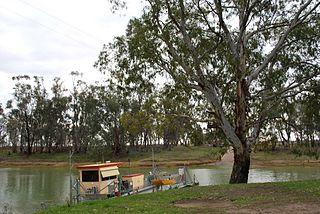
Speewa is a rural locality in the Murray region of New South Wales, Australia near the Murray River in Murray River Council local government area.
North Yeoval is a locality in New South Wales, Australia. It is the part of the village of Yeoval which lies within Dubbo Regional Council. The majority of the Village lies within the Cabonne shire. The dividing line is the Buckinbah Creek. North Yeoval is where the railway station was located as well as where the grain silos and bulk head are positioned. The Yeoval cemetery is also located in North Yeoval.

Ideraway is a rural town and locality in the North Burnett Region, Queensland, Australia. In the 2016 census, the locality of Ideraway had a population of 38 people.
The Ralfes Creek, a perennial stream that is part of the Hastings River catchment, is located in the Mid North Coast region of New South Wales, Australia.
The Eden Creek, a perennial stream of the Richmond River catchment, is located in Northern Rivers region in the state of New South Wales, Australia.

The Mogo Creek, a perennial stream of the Hawkesbury-Nepean catchment, is located in the Blue Mountains region of New South Wales, Australia.

Queanbeyan–Palerang Regional Council is a local government area located in the Southern Tablelands region of New South Wales, Australia. The council was formed on 12 May 2016 through a merger of the City of Queanbeyan and Palerang Council.

Carneys Creek is a rural locality in the Scenic Rim Region, Queensland, Australia. In the 2016 census, Carneys Creek had a population of 51 people. It borders New South Wales.

Glen Niven is a rural locality in the Southern Downs Region, Queensland, Australia. It is within the Granite Belt on the Darling Downs and adjacent to the border with New South Wales. In the 2021 census, Glen Niven had a population of 99 people.

Western Creek is a locality in the Toowoomba Region, Queensland, Australia. In the 2021 census, Western Creek had "no people or a very low population".
The Head is a rural locality in the Southern Downs Region, Queensland, Australia. It borders New South Wales. In the 2021 census, The Head had a population of 12 people.


