
Crownhill is an area of northern Plymouth, in the county of Devon, England.

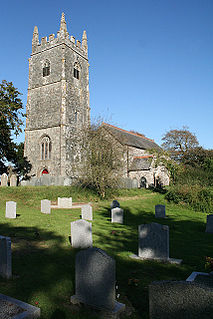
Treen is a small village in the parish of St Levan, in the far west of Cornwall, England, United Kingdom. It is about 3 miles (4.8 km) inland from Land's End on a short unclassified spur road from the B3315. Treen overlooks the Penberth Valley and sits about 1 kilometre (0.62 mi) inland from Treryn Dinas, an Iron Age promontory fort, or cliff castle, with five lines of fortification. On the headland is the Logan Rock and to the west is Pedn Vounder tidal beach, which is popular with naturists. Treen Cliff is to either side of Treryn Dinas. The village has a popular pub, The Logan Rock Inn, a village shop, cafe and campsite with views to both Logan Rock and nearby Porthcurno.
North Petherwin is a civil parish and village in east Cornwall, England, United Kingdom. The village is situated five miles (8 km) northwest of Launceston on a ridge above the River Ottery valley.

Delabole is a large village in north Cornwall, England, UK. It is situated approximately two miles (3 km) west of Camelford. It is in the civil parish of St Teath

Angarrack is a village, in west Cornwall, England, UK. It is in the parish of Gwinear-Gwithian a mile to the east of Hayle. Immediately south of the village Angarrack viaduct carries the Cornish mainline railway over the Angarrack River. The name comes from An Garrek which means "The Rock" in the Cornish language. According to the Ordnance Survey the spelling is Angarrack but on signs near the village, it is variously spelled Angarrack, Angharrack, or Angarrick.

Whitesand Bay is a wide sandy bay near Land's End in west Cornwall, England, United Kingdom. It stretches for one mile between the headlands of Pedn-mên-du and Aire Point. and contains the village of Sennen Cove. It is also a landing point for the Atlantic Crossing 1 international telecommunications cable.
Amalveor is a hamlet in West Penwith, Cornwall, England, United Kingdom at grid reference SW 482 375. The hamlet is 3 miles south-west of St Ives. It is in the civil parish of Towednack.

Chiverton Cross is a road junction in west Cornwall, England, United Kingdom, about four miles north-east of Redruth and five miles (8 km) west of Truro at OS grid ref SW747469. Its name derives from Chyverton House which is in the extreme east of the parish of Perranzabuloe.
Brea is a village in Cornwall, England, UK, between the towns of Camborne and Redruth. It is in the civil parish of Carn Brea and consists of Brea, Lower Brea, and Higher Brea. A small stream, the Red River, flows through the village and a hill, Carn Brea dominates the landscape to the east, along with its monument to Francis Basset.
Bridge is a village in Cornwall, England, United Kingdom. It is about 1 km east of Portreath.
Cripplesease is a hamlet in the civil parishes of Ludgvan and Towednack, Cornwall, UK. The B3311 road from Penzance to St Ives passes through the hamlet with Ludgvan on the eastern side and Towednack on the west side of the road.

Crowntown is a hamlet on the B3303 road south of Nancegollan in west Cornwall, England. It is in the civil parish of Sithney.
Higher Boscaswell is a hamlet near Pendeen in west Cornwall, England. It is east of Pendeen and on the B road from St Ives to St Just.

Nancegollan is a village in the civil parish of Crowan in west Cornwall, England. Nancegollan is on the B3303 road and south-east of Leedstown. The railway line from Helston to Hayle passed through the village.

Higher Ninnes and Lower Ninnes are hamlets, south of Mulfra Hill in the civil parish of Madron in west Cornwall, England, UK.
Pengegon is a residential area east of Camborne, Cornwall, England, which has a fish and chip shop, a newsagent, a children's play park and a basketball/football court.

Penhallick is a hamlet near Pool in Cornwall, England, UK. Penhallick House was built in 1892 by Richard Cowlin the local miller and grocer who owned Cowlin Mill. The mill was converted in the 1980s by Kerrier Groundwork and is now offices for Cornwall Council.

Perran Downs is a village near Perranuthnoe in Cornwall, England.

For people with the surname, see Trethewey (surname).
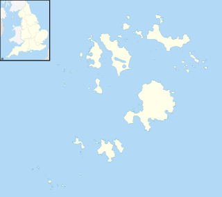
Normandy is a small settlement on the island of St Mary's, the largest of the Isles of Scilly, England. It is located in the east of the island, between Pelistry and Porth Hellick on the A3110 road.

