Azuay, Province of Azuay is a province of Ecuador, created on 25 June 1824. It encompasses an area of 8,171 square kilometres (3,155 sq mi). Its capital is Cuenca. It is located in the south center of Ecuador in the highlands. Its mountains reach 4,500 m (14,800 ft) above sea level in the national park of El Cajas.

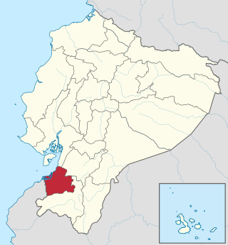
El Oro is the southernmost of Ecuador's coastal provinces. It was named for its historically important gold production. Today it is one of the world's major exporters of bananas. The capital is Machala.

Cotopaxi is one of the provinces of Ecuador. The capital is Latacunga. The province contains the Cotopaxi Volcano, an intermittent volcano with a height of 19,347 feet (5,897 m).

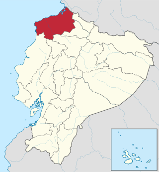
Esmeraldas is a province in northwestern Ecuador. The capital is Esmeraldas.

Manabí is a province in Ecuador. Its capital is Portoviejo. The province is named after the Manabí people.

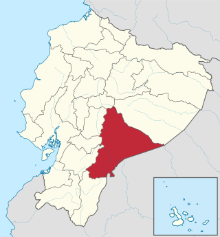
Morona Santiago is a province in Ecuador. The province was established on February 24, 1954. The capital is Macas.

Napo is a province in Ecuador. Its capital is Tena. The province contains the Napo River. The province is low developed without much industrial presence. The thick rainforest is home to many natives that remain isolated by preference, descendants of those who fled the Spanish invasion in the Andes, and the Incas years before. In 2000, the province was the sole remaining majority-indigenous province of Ecuador, with 56.3% of the province either claiming indigenous identity or speaking an indigenous language.

Pichincha is a province of Ecuador located in the northern Sierra region; its capital and largest city is Quito. It is bordered by Imbabura and Esmeraldas to the north, Cotopaxi and Santo Domingo de los Tsáchilas to the south, Napo and Sucumbíos to the east, and Esmeraldas and Santo Domingo de los Tsáchilas to the west.

Sucumbíos is a province in northeast Ecuador. The capital and largest city is Nueva Loja. It is the fifth largest province in the country, with an area of 18,084 km2. In 2010, it had a population of 176,472 inhabitants.

Zamora Chinchipe, Province of Zamora Chinchipe is a province of the Republic of Ecuador, located at the southeastern end of the Amazon Basin, which shares borders with the Ecuadorian provinces of Azuay and Morona Santiago to the north, Loja and Azuay to the west, and with Peru to the east and south. The province comprises an area of approximately 10,559 km² and is covered with a uniquely mountainous topography which markedly distinguishes it from the surrounding Amazonian provinces. Zamora-Chinchipe is characterized and largely identified by its mining industry; indigenous ethnic groups with a rich archaeological legacy; its biodiversity; and its niche and tourist attractions, which include a number of waterfalls well-noted for their beauty. The province takes its name from the bureaucratic fusion of the Zamora and Chinchipe cantons. The provincial capital is the city of Zamora.

The Cantons of Ecuador are the second-level subdivisions of Ecuador, below the provinces. There are 221 cantons in the country, of which three are not in any province. The cantons are further sub-divided into parishes, which are classified as either urban or rural. Below is a list of cantons by province.

Pedro Moncayo is a canton in the north of the Pichincha Province, Ecuador. The seat of the canton is the city of Tabacundo. The canton is named after politician Pedro Moncayo. The canton is separated by the Mojanda volcano from the canton of Otavalo in the province of Imbabura in the north. It borders the same-province cantons of Cayambe and Quito.

Franz Tamayo is a province in the Bolivian department of La Paz. It lies in the western part of the nation, and includes the Ulla Ulla National Reserve - which today is part of the Apolobamba Integrated Management Natural Area - in the high Andean plain on the western border with Peru. Its capital is Apolo.

Ingavi is a province in the La Paz Department in Bolivia. This is where the Battle of Ingavi occurred on November 18, 1841, and where the World Heritage Site of Tiwanaku is situated.

Chayanta Municipality is the second municipal section of the Rafael Bustillo Province in the Bolivian Potosí Department. It was created on October 8, 1908, during the presidency of Ismael Montes and is now one of four municipalities of the province. Its seat is Chayanta.

Zamora is a canton in the Zamora-Chinchipe Province of Ecuador. It was named after Zamora city, the provincial capital and head of the canton of the same name.

Santo Domingo de los Tsáchilas is a province in the Republic of Ecuador, created in October 2007 from territory previously in the province of Pichincha.

Pucarani Municipality is the first municipal section of the Los Andes Province in the La Paz Department, Bolivia. Its seat is Pucarani.
National Primary Route 3, or just Route 3 is a National Road Route of Costa Rica, located in the San José, Alajuela, Heredia provinces.


