Quincy, Kansas | |
|---|---|
 | |
 Quincy  Quincy | |
| Coordinates: 37°52′55″N95°59′34″W / 37.88194°N 95.99278°W [1] | |
| Country | United States |
| State | Kansas |
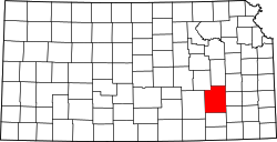
| County | Greenwood |
| Elevation | 942 ft (287 m) |
| Time zone | UTC-6 (CST) |
| • Summer (DST) | UTC-5 (CDT) |
| Area code | 620 |
| FIPS code | 20-58150 |
| GNIS ID | 474454 [1] |
Quincy is an unincorporated community in Greenwood County, Kansas, United States. [1] It is located between Eureka and Yates Center in a rural area.