Eglon Township is a township in Clay County, Minnesota, United States. The population was 440 at the 2000 census.

Oak Lawn Township is a township in Crow Wing County, Minnesota, United States. The population was 1,793 at the 2000 census.

Pelican Township is a township in Crow Wing County, Minnesota, United States. The population was 400 at the 2000 census. This township was named from Pelican Lake.

Platte Lake Township is a township in Crow Wing County, Minnesota, United States. The population was 305 at the 2000 census. This township took its name from Platte Lake.

Rabbit Lake Township is a township in Crow Wing County, Minnesota, United States. The population was 348 at the 2000 census. The township took its name from Rabbit Lake.

Roosevelt Township is a township in Crow Wing County, Minnesota, United States. The population was 534 at the 2000 census. Roosevelt Township was named for Theodore Roosevelt, 26th President of the United States.

St. Mathias Township is a township in Crow Wing County, Minnesota, United States. The population was 490 at the 2000 census. St. Mathias Township took its name from a local Roman Catholic church.

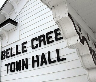
Belle Creek Township is a township in Goodhue County, Minnesota, United States. The population was 437 at the 2000 census. Belle Creek Township was organized in 1858, and took its name from the Belle Creek.

Brownsville Township is a township in Houston County, Minnesota, United States. The population was 462 at the 2000 census.

Mound Prairie Township is a township in Houston County, Minnesota, United States. The population was 661 at the 2000 census.

Goodland Township is a township in Itasca County, Minnesota, United States. The population was 466 at the 2010 census.

Limestone Township is a township in Lincoln County, Minnesota, United States. The population was 159 at the 2000 census.

Amor Township is a township in Otter Tail County, Minnesota, United States. The population was 558 at the 2000 census.

Corliss Township is a township in Otter Tail County, Minnesota, United States. The population was 462 at the 2000 census.

Bremen Township is a township in Pine County, Minnesota, United States. The population was 246 at the 2000 census.

Crosby Township is a township in Pine County, Minnesota, United States. The population was 97 at the 2000 census.

Huntsville Township is a township in Polk County, Minnesota, United States. It is part of the Grand Forks-ND-MN Metropolitan Statistical Area. The population was 586 at the 2000 census.

Erin Township is a township in Rice County, Minnesota, United States. The population was 797 at the 2000 census.

Morristown Township is a township in Rice County, Minnesota, United States. The population was 665 at the 2000 census.

Melrose Township is a township in Stearns County, Minnesota, United States. The population was 759 at the 2010 census. The township includes the northern two-thirds of the City of Melrose.


