Backus is a city in Cass County, Minnesota, United States. The population was 262 at the 2020 census. It is part of the Brainerd Micropolitan Statistical Area.

Chickamaw Beach is a city in Cass County, Minnesota, United States. The population was 128 at the 2020 census. It is part of the Brainerd Micropolitan Statistical Area.

Pillager is a city in Cass County, Minnesota, United States. Its population was 507 at the 2020 census. It is part of the Brainerd Micropolitan Statistical Area.
Hawley Township is a township in Clay County, Minnesota, United States. The population was 459 at the 2000 census.

Hitterdal is a city in Clay County, Minnesota, United States. The population was 199 at the 2020 census.
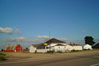
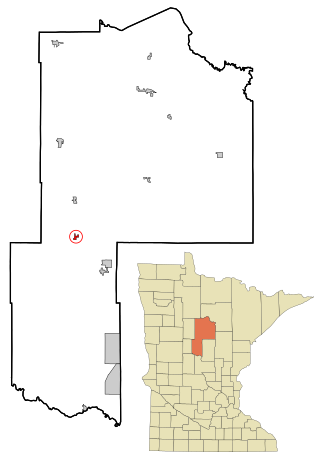
Regal is a city in northeast Kandiyohi County, Minnesota, United States, along the North Fork of the Crow River. The population was 43 at the 2020 census.

Lastrup is a city in Morrison County, Minnesota, United States. The population was 120 at the 2020 census.

Bluffton is a city in Otter Tail County, Minnesota, United States, along the Leaf River. The population was 210 at the 2020 census.

Clitherall is a city in Otter Tail County, Minnesota, United States. The population was 62 at the 2020 census.

Deer Creek is a city in Otter Tail County, Minnesota, United States. The population was 330 at the 2020 census.

Henning is a city in Otter Tail County, Minnesota, United States. The population was 854 at the 2020 census.

Richville is a city in Otter Tail County, Minnesota, United States. The population was 77 as of the 2020 census.

Urbank is a city in Otter Tail County, Minnesota, United States. The population was 52 at the 2020 census.

McIntosh is a city in Polk County, Minnesota, United States. It is part of the Grand Forks, ND-MN Metropolitan Statistical Area. The population was 606 at the 2020 census.

Long Beach is a city in Pope County, Minnesota, United States. The population was 338 at the 2020 census.

Maplewood is a city in Ramsey County, Minnesota, United States. The population was 42,088 at the 2020 census. Maplewood is ten minutes' drive from downtown Saint Paul. It stretches along the northern and eastern borders of Saint Paul.

Lake Henry is a city in Stearns County, Minnesota, United States. The population was 103 at the 2010 census. It is part of the St. Cloud Metropolitan Statistical Area.

Fifty Lakes is a city in Crow Wing County, Minnesota, United States. The population was 387 at the 2010 census. It is part of the Brainerd Micropolitan Statistical Area.

Minnesota Lake is a city in Blue Earth and Faribault counties in the State of Minnesota. The population was 661 at the 2020 census. The bulk of the city is in Faribault County; a small part extends into Blue Earth County.

Eden Valley is a city in Meeker and Stearns counties in the U.S. state of Minnesota. The population was 1,027 at the 2020 census. Most of Eden Valley is in Meeker County; the Stearns County portion is part of the St. Cloud Metropolitan Statistical Area.


