
Imperial County is a county located on the southeast border of the U.S. state of California. As of the 2020 census, the population was 179,702, making it the least populous county in Southern California. The county seat and largest city is El Centro. Imperial is the most recent California county to be established, as it was created in 1907 out of portions of San Diego County.
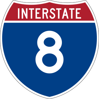
Interstate 8 (I-8) is an Interstate Highway in the southwestern United States. It runs from the southern edge of Mission Bay at Sunset Cliffs Boulevard in San Diego, California, almost at the Pacific Ocean, to the junction with I-10, just southeast of Casa Grande, Arizona. In California, the freeway travels through the San Diego metropolitan area as the Ocean Beach Freeway and the Mission Valley Freeway before traversing the Cuyamaca Mountains and providing access through the Imperial Valley, including the city of El Centro. Crossing the Colorado River into Arizona, I-8 continues through the city of Yuma across the Sonoran Desert to Casa Grande, in between the cities of Phoenix and Tucson.

Arizona City is an unincorporated census-designated place (CDP) in southwestern Pinal County, Arizona, United States. It is located near the junction of Interstate 8 and Interstate 10 at the midpoint between Phoenix and Tucson, approximately 60 miles (97 km) from the downtown of both cities. The population was 10,475 as of the 2010 U.S. Census. It is estimated to be approximately 11,030 as of a 2017 U.S. Census estimate. Arizona City is a rural, primarily residential community that features a 48-acre man-made lake which has an HOA and is private to residents of surrounding homes only. These attributes make the community a popular snowbird destination, with the population increasing by as much as 5,000 people in the winter months to reach the census figure of 11,030. Most recently after the last Census, many full-time residents have relocated to the unincorporate town.

U.S. Route 80 or U.S. Highway 80 (US 80) is a major east–west United States Numbered Highway in the Southern United States, much of which was once part of the early auto trail known as the Dixie Overland Highway. As the "0" in the route number indicates, it was originally a cross-country route, from the Pacific Ocean to the Atlantic Ocean. Its original western terminus was at Historic US 101 in San Diego, California. However, the entire segment west of Dallas, Texas, has been decommissioned in favor of various Interstate Highways and state highways. Currently, the highway's western terminus is at an interchange with Interstate 30 (I-30) on the Dallas–Mesquite city line. Its eastern terminus is in Tybee Island, Georgia near the Atlantic Ocean. Between Jonesville, Texas and Kewanee, Mississippi, US 80 runs parallel to or concurrently with Interstate 20. It also currently runs through Dallas, Texas; Shreveport, Louisiana; Jackson, Mississippi; Montgomery, Alabama; Columbus, Georgia; Macon, Georgia; and Savannah, Georgia.

New York State Route 28 (NY 28) is a state highway extending for 281.69 miles (453.34 km) in the shape of a "C" between the Hudson Valley city of Kingston and southern Warren County in the U.S. state of New York. Along the way, it intersects several major routes, including Interstate 88 (I-88), U.S. Route 20 (US 20), and the New York State Thruway twice. The southern terminus of NY 28 is at NY 32 in Kingston and the northern terminus is at US 9 in Warrensburg. In Kingston, NY 28 is co-designated as Interstate 587 from its southern terminus at NY 32 to the roundabout linking it to the Thruway (I-87).

U.S. Route 70 or U.S. Highway 70 is an east–west United States highway that runs for 2,381 miles (3,832 km) from eastern North Carolina to east-central Arizona. It is a major east–west highway of the Southeastern, Southern and Southwestern United States. Established as one of the original highways of 1926, it originally ran only to Holbrook, Arizona, then was extended in 1934 as a coast to coast route, with the current eastern terminus near the Atlantic Ocean in Atlantic, North Carolina, and the former western terminus near the Pacific Ocean in Los Angeles, California. The current western terminus was then truncated to US 60 / SR 77 in Globe, Arizona. Before the completion of the Interstate system, U.S. Highway 70 was sometimes referred to as the "Broadway of America", due to its status as one of the main east–west thoroughfares in the nation. It was also promoted as the "Treasure Trail" by the U.S. Highway 70 Association as of 1951.

Valle is a census-designated place in Coconino County, Arizona, United States. As of the 2010 US Census the population of Valle was 832. It lies at an altitude of 5,994 feet (1,827 m), at the junction of U.S. Route 180 and State Route 64. Its attractions include the Valle Airport (40G), the Planes of Fame Air Museum, and Birds of Prey, formally Bedrock City (Arizona), amusement park. Drivers often stop at the town on their way to the Grand Canyon from either Williams or Flagstaff, as it is approximately at the halfway point.
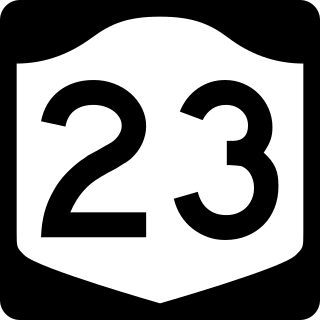
New York State Route 23 (NY 23) is an east–west state highway in the eastern portion of New York in the United States. It extends for 156.15 miles (251.30 km) from an intersection with NY 26 in the Central New York town of Cincinnatus in Cortland County to the Massachusetts state line in the Berkshire Mountains, where it continues east as that state's Route 23. Along the way, it passes through many communities, including the cities of Norwich and Oneonta. Outside of the communities, the route serves largely rural areas of the state and traverses the Catskill Mountains in the state's Central New York Region. NY 23 crosses the Hudson River at Catskill via the Rip Van Winkle Bridge.

Drake was an unincorporated community on the Verde River in Yavapai County, Arizona, United States, and a station on the BNSF Railway's Phoenix Subdivision. Drake is also the junction and western terminus of the Verde Canyon Railroad. Drake is the site of the old Hell Canyon Bridge, formerly used by US Route 89, and now on the National Register of Historic Places.
Yuma is an unincorporated community in Taylor County, Kentucky, United States. It lies along Route 76 southeast of the city of Campbellsville, the county seat of Taylor County. Its elevation is 722 feet (220 m).
Paint Lick is an unincorporated community in Garrard County, Kentucky, United States. It lies along Routes 21 and 52 east of the city of Lancaster, the county seat of Garrard County. In 2015, a new route for KY 52 opened, bypassing the town. Its elevation is 820 feet (250 m). It has a post office with the ZIP code 40461. Historic sites within the community include Paint Lick Presbyterian Church (1879).
East Union is an unincorporated community in Nicholas County, Kentucky, United States. It lies along Route 57 south, south of the city of Carlisle, the county seat of Nicholas County. Its elevation is 853 feet (260 m).
Mohawk is a populated place in Yuma County, Arizona, United States. It is part of the Yuma Metropolitan Statistical Area.
Oran is an unincorporated community in southwestern Fayette County, Iowa, United States. It lies along local roads southwest of the city of West Union, the county seat of Fayette County, and west of the city of Oelwein, the largest city in Fayette County. Its elevation is 1,043 feet (318 m). Although Oran is unincorporated, it has a post office with the ZIP code of 50664.
Kirkland is an unincorporated community in central Yavapai County, Arizona, United States, near the Weaver Mountains. It is southwest of the city of Prescott, the county seat of Yavapai County. Its elevation is 3,930 feet (1,198 m). Although Kirkland is unincorporated, it has a post office, with the ZIP code of 86332.
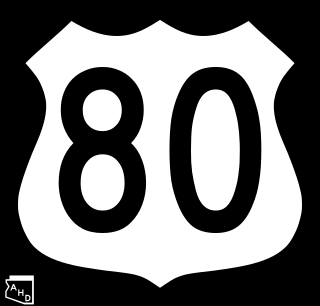
U.S. Route 80 (US 80), also known as the Ocean-to-Ocean Highway, the Broadway of America and the Jefferson Davis Memorial Highway, was a major transcontinental highway that existed in the U.S. state of Arizona from November 11, 1926, to October 6, 1989. At its peak, US 80 traveled from the California border in Yuma to the New Mexico state line near Lordsburg. US 80 was an important highway in the development of Arizona's car culture. Like its northern counterpart, US 66, the popularity of travel along US 80 helped lead to the establishment of many unique roadside businesses and attractions, including many iconic motor hotels and restaurants. US 80 was a particularly long highway, reaching a length of almost 500 miles (800 km) within the state of Arizona alone for most of the route's existence.
Dome is a ghost town located in Yuma County, in southwestern Arizona, United States. It is located in the Dome Valley south of the Gila River. Originally Swiveler's Station, 20 miles (32 km) east of Fort Yuma on the Butterfield Overland Mail route, a post office was established here in 1858. It was first under the name of Gila City, the nearby boomtown one and a half miles (2.4 km) west of Swiveler's, but the post office closed July 14, 1863, after most of the town was swept away in the Great Flood of 1862, and then abandoned for the La Paz gold rush along the Colorado River. After the railroad passed by the site and an attempt at large scale mining of the placers began, a new post office was established as Dome in 1892 but soon closed when the attempt failed. Subsequently it opened and closed several times before finally closing in 1940.
Mohawk Valley School District 17 is a school district in Yuma County, Arizona. It has one elementary school, the historic Mohawk Valley School, which is located on 5151 South Ave. 39 East in Roll. The school was listed in the National Register of Historic Places on December 29, 1986, reference: #86003525.

 Mohawk Valley School
 Mohawk Valley Community Church


