
Lajas Arriba is a barrio in the municipality of Lajas, Puerto Rico. Its population in 2010 was 2,456.
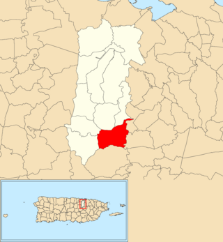
Guaraguao Arriba is a barrio in the municipality of Bayamón, Puerto Rico. Its population in 2010 was 1,832.

Consejo is a barrio in the municipality of Utuado, Puerto Rico. Its population in 2010 was 610.

Caonillas Arriba is a barrio in the municipality of Utuado, Puerto Rico. Its population in 2010 was 296.

Río Arriba is a barrio in the municipality of Añasco, Puerto Rico. Its population in 2010 was 138.

Río Arriba is a barrio in the municipality of Vega Baja, Puerto Rico. Its population in 2010 was 352.

Río Arriba Saliente is a rural barrio in the municipality of Manatí, Puerto Rico. Its population in 2010 was 3,592.
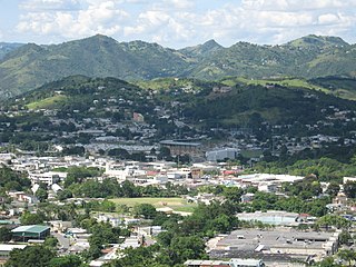
Quebrada Arriba is a barrio in the municipality of Cayey, Puerto Rico. Its population in 2010 was 1,451.

Mameyes Abajo is a barrio in the municipality of Utuado, Puerto Rico. Its population in 2010 was 1,136. The corresponding Mameyes Arriba is located in neighbouring Jayuya at a higher elevation, but was once part of Utuado as well.

Salto Abajo is a barrio in the municipality of Utuado, Puerto Rico. Its population in 2010 was 3,929.
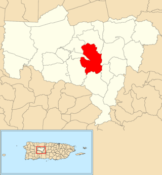
Viví Abajo is a barrio in the municipality of Utuado, Puerto Rico. Its population in 2010 was 3,143.

Viví Arriba is a barrio in the municipality of Utuado, Puerto Rico. Its population in 2010 was 748.

Santa Isabel is a barrio in the municipality of Utuado, Puerto Rico. Its population in 2010 was 660.

Tetuán is a barrio in the municipality of Utuado, Puerto Rico. Its population in 2010 was 680.
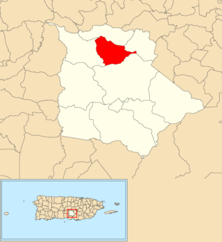
Coamo Arriba is a barrio in the municipality of Coamo, Puerto Rico. Its population in 2010 was 391.

Candelero Arriba is a barrio in the municipality of Humacao, Puerto Rico. Its population in 2010 was 3,596.

Río Arriba is a barrio in the municipality of Fajardo, Puerto Rico. Its population in 2010 was 1,377.

Río Cañas Arriba is a barrio in the municipality of Mayagüez, Puerto Rico. Its population in 2010 was 1,354.

Arenas is a barrio in the municipality of Utuado, Puerto Rico. Its population in 2010 was 1,860.
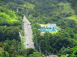
Matón Arriba is a barrio in the municipality of Cayey, Puerto Rico. Its population in 2010 was 961.


