San Gregorio Atzompa | |
|---|---|
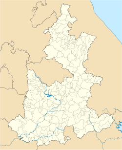 San Gregorio Atzompa Location in Mexico  San Gregorio Atzompa San Gregorio Atzompa (Mexico) | |
| Coordinates: 19°01′21″N98°20′40″W / 19.0224°N 98.3445°W | |
| Country | |
| State | Puebla |
| Government | |
| • Mayor | Jose Avelino Mario Merlo Zanella (2021-2024) |
| Time zone | UTC-6 (Zona Centro) |
San Gregorio Atzompa is a municipality in the Mexican state of Puebla. [1]
