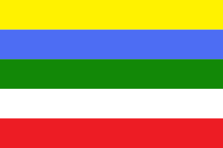
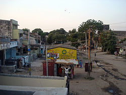
Mansa is a town with municipality and former princely state, in Gandhinagar district in the western Indian state of Gujarat.
Varsoda is a small village located in Mansa, Gujarat, on the bank of the Sabarmati River, formerly the seat of an eponymous Rajput princely state. It is approximately 25 kilometres (16 mi) from Gandhinagar, the state capital of Gujarat.

The Vadagam State was a 5th Class princely state belonging to the Mahi Kantha Agency of the Bombay Presidency during the era of the British Raj. It had its capital in Vadgam taluk, Banaskantha district of present-day Gujarat State. Wadagam State's last ruler signed the accession to join the Indian Union in 1948.
Ramas is a town and former Makwana Koli princely state in Mahi Kantha.
Likhi is a village and former non-salute princely state in Gujarat, western India.
Kadoli State was a former non-salute princely state of India centered on the present-day village of the same name in the Sabarkantha district of Gujarat in western India. The lesser princely state, comprising the village and a second one, belonged to Sabar Kantha thana, in Mahi Kantha. It was ruled by chieftains who were 'non-jurisdictional'. In 1901 it had a combined population of 931, yielding 3,781 Rupees state revenue, paying two tributes: 513 Rupees to the Gaikwar Baroda State and 93 Rupees to Idar State.
Santhal is a town and former Seventh Class princely state in Gujarat, western India.
Gabat also spelled Gubut is a village and former petty princely state in Gujarat, western India.
Hadol is a village and former non-salute princely state in Gujarat, western India.
Mota Kothasana is a village in the Mehsana district of Gujarat in western India.
Umari is a village and former non-salute princely state in Gujarat, western India.
Khadal is a town and former minor Princely state in Gujarat, western India.
Ghorasar is a town in the Ahmedabad district of Gujarat, India.
Rupal is a town and former princely state in Gujarat, western India.
Dadhalia is a town and former Rajput princely state in Gujarat, western India.
Deloli is a village in the Mahesana district of Gujarat, in western India.
Timba is a village and former petty princely state in Gujarat, western India.
Tajpuri is a town and former minor princely state in Gujarat, western India.
The Dedhrota is a village and a former Princely state in Gujarat, India.


