Tenejapa Municipality

Last updated
Tenejapa Municipality
Tenejapa en Chiapas.svg
Mexico States blank map.svg
Red pog.svg
Tenejapa Municipality
Location in Mexico
Coordinates: 16°49′0″N92°31′1″W / 16.81667°N 92.51694°W / 16.81667; -92.51694 Coordinates: 16°49′0″N92°31′1″W / 16.81667°N 92.51694°W / 16.81667; -92.51694
CountryFlag of Mexico.svg  Mexico
State Chiapas
Area
  Total38.4 sq mi (99.4 km2)
Population
 (2010)
  Total40,268

Tenejapa Municipality is one of the 119 municipalities of Chiapas, in southern Mexico.

As of 2010, the municipality had a total population of 40,268, [1] up from 33,161 as of 2005. [2] It covers an area of 99.4 km².

As of 2010, the town of Tenejapa had a population of 1,998. [1] Other than the town of Tenejapa, the municipality had 69 localities, the largest of which (with 2010 populations in parentheses) were: Kotolte (2,503), Tzajalchén (2,276), Tz'aquiviljok (2,176), classified as urban, and Yashanal (1,893), Matzam (1,599), Chixtontic (1,512), Chacoma (1,462), Sibaniljá Pocolum (1,419), Tres Cerros (1,228), Ococh (1,187), Majosik (1,116), and Jomanichim (1,112), classified as rural. [1]

Related Research Articles

Catazajá Municipality in Chiapas, Mexico

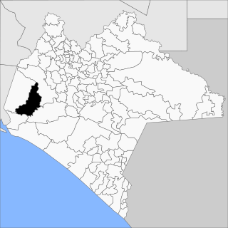
Catazajá is a town and one of the 122 Municipalities of Chiapas, in southern Mexico. It covers an area of 621 km².

Chenalhó Municipality in Chiapas, Mexico

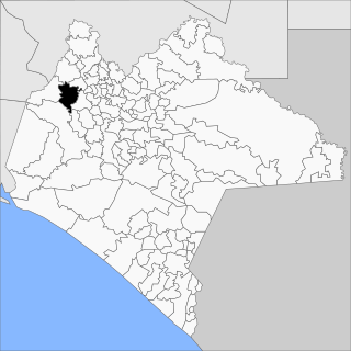
Chenalhó is a town and one of the 119 municipalities of Chiapas, in southern Mexico. It covers an area of 113 km².

Chilón Municipality in Chiapas, Mexico

Chilón is a town and one of the 119 Municipalities of Chiapas, in southern Mexico. It covers an area of 2490 km².

Jiquipilas Municipality in Chiapas, Mexico

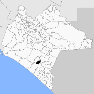
Jiquipilas is a town and one of the 119 Municipalities of Chiapas, in southern Mexico.

La Concordia, Chiapas Municipality in Chiapas, Mexico

La Concordia is a town and one of the 119 Municipalities of Chiapas, in southern Mexico.

Escuintla, Chiapas Municipality in Chiapas, Mexico

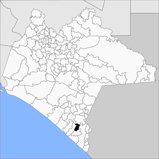
Escuintla is a town and one of the 119 Municipalities of Chiapas, in southern Mexico. It covers an area of 206.2 km².

Huehuetán Municipality in Chiapas, Mexico

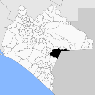
Huehuetán is a town and one of the 119 Municipalities of Chiapas, in southern Mexico. It covers an area of 313 km².

Ixtapangajoya Municipality in Chiapas, Mexico

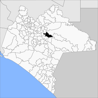
Ixtapangajoya is a town and one of the 119 municipalities of Chiapas, in southern Mexico.

Tecpatán Municipality in Chiapas, Mexico

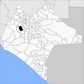
Tecpatán is a town and one of the 119 Municipalities of Chiapas, in southern Mexico.

Jitotol Municipality in Chiapas, Mexico

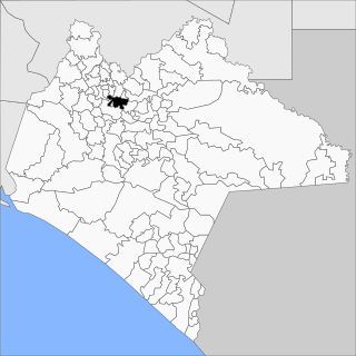
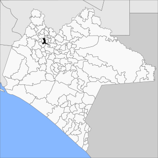
Jitotol is a town and one of the 119 Municipalities of Chiapas, in southern Mexico.

Maravilla Tenejapa Municipality in Chiapas, Mexico

Maravilla Tenejapa is a town and one of the 119 Municipalities of Chiapas, in southern Mexico.

Montecristo de Guerrero Municipality in Chiapas, Mexico

Montecristo de Guerrero is a town and one of the 119 Municipalities of Chiapas, in southern Mexico.

Oxchuc Municipality in Chiapas, Mexico

Oxchuc is a town and one of the 119 Municipalities of Chiapas, in southern Mexico.

Pantepec, Chiapas Municipality in Chiapas, Mexico

Pantepec is a town and one of the 119 municipalities of Chiapas, in southern Mexico. The Chiapas Zoque language is spoken in this municipality.

Pueblo Nuevo Solistahuacán Municipality in Chiapas, Mexico

Pueblo Nuevo Solistahuacán is a town and one of the 125 municipalities of Chiapas in southern Mexico.

San Fernando, Chiapas Municipality in Chiapas, Mexico

San Fernando is a town and one of the 119 Municipalities of Chiapas, in southern Mexico.

Siltepec Municipality in Chiapas, Mexico

Siltepec is a town and one of the 125 municipalities of Chiapas in southern Mexico.

Tuzantán Municipality in Chiapas, Mexico

Tuzantán is a town and one of the 119 Municipalities of Chiapas, in southern Mexico.

La Trinitaria, Chiapas Municipality in Chiapas, Mexico

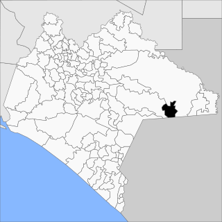
La Trinitaria is a town and one of the 119 Municipalities of Chiapas, in southern Mexico.

Unión Juárez, Chiapas Municipality in Chiapas, Mexico

Unión Juárez is a town and one of the 119 municipalities of Chiapas, in southern Mexico.

References

  1. 1 2 3 "Tenejapa". Catálogo de Localidades. Secretaría de Desarrollo Social (SEDESOL). Retrieved 23 April 2014.
  2. "Tenejapa". Enciclopedia de los Municipios de México. Instituto Nacional para el Federalismo y el Desarrollo Municipal Gobierno del Estado de Chiapas. Retrieved August 3, 2008.